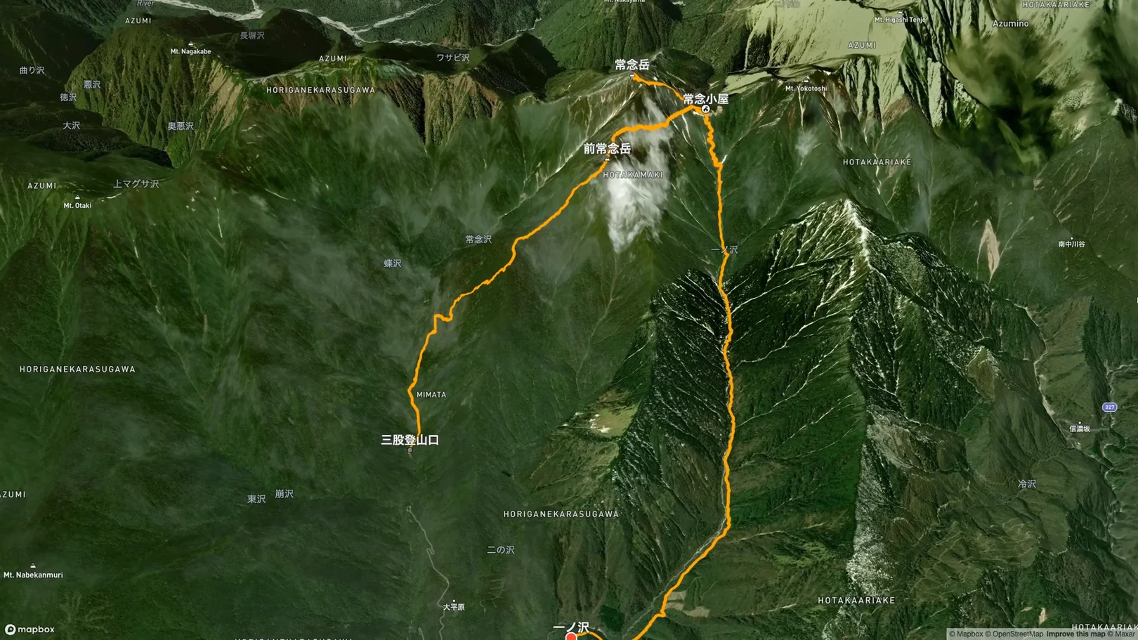
From Sunday, July 20 to Monday, July 21, 2025 (a national holiday), I climbed Mt. Jonen (2,857 m) in the Northern Japan Alps on a 2-day tent trip. On Day 1, I climbed the steep trail from Mitsumata Trailhead over Mt. Mae-Jonen and spent the night at the Jonen Hut campsite. On Day 2, I went up to the summit early in the morning, came back to the hut, and then descended to Ichinosawa, so the route is a traverse rather than an out-and-back. From the summit I could see Mt. Yari and the Hotaka range, with Mt. Fuji far in the distance! Onsen and a place to stay near the trail are listed at the end.
Route Data
Item | Record |
|---|---|
Dates | Sunday, July 20 to Monday, July 21, 2025 |
Distance | approx. 15.5 km (2-day traverse) |
Day 1 | 6.5 km, approx. 8 h 45 min (incl. breaks) |
Day 2 | 9.0 km, approx. 7 h 20 min (incl. breaks) |
Elevation gain | approx. +1,780 m |
High point | 2,857 m (Mt. Jonen) |
Route | Mitsumata Trailhead → Mt. Mae-Jonen → Jonen Hut campsite (overnight) → Mt. Jonen → Jonen Hut → Jonen-norikoshi → Ichinosawa → Ichinosawa Trailhead |
Here is how it broke down. These numbers come from my own record, so treat them as a rough guide.
Section | Distance | Time |
|---|---|---|
Mitsumata Trailhead → Mt. Mae-Jonen | 4.7 km | approx. 6 h 20 min |
Mt. Mae-Jonen → Jonen Hut | 1.8 km | approx. 2 h 20 min |
Jonen Hut → Summit | 0.9 km | approx. 55 min |
Summit (stop) | approx. 48 min | |
Summit → Jonen Hut | 1.0 km | approx. 1 h |
Jonen-norikoshi → Down to Ichinosawa | 2.6 km | approx. 1 h 40 min |
Along the stream to Ichinosawa Trailhead | 4.5 km | approx. 1 h 40 min |
Note that I did not pass over the summit of Mt. Jonen on Day 1. I was exhausted by the time I reached Mt. Mae-Jonen, so I headed for the hut by a route that bypasses the top, and climbed to the summit from the hut early on Day 2.
Access & Parking
The climb starts at Mitsumata Trailhead, at about 1,350 m. Cars were lined up in the parking lot, next to a sign reserving the space as a stop for the scheduled bus and prohibiting parking on the road.
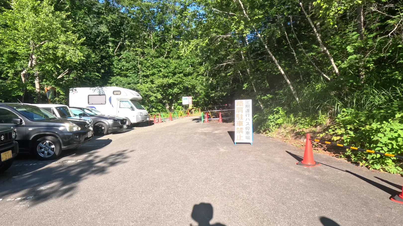
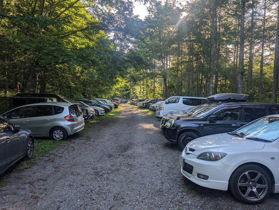
The Mitsumata parking lot was very crowded in summer. I arrived before 6 a.m. and was lucky to get a spot, but only just. I recommend arriving early.
Because this route goes up from Mitsumata and down to Ichinosawa, you start and finish at different trailheads. I had originally planned to return to Mitsumata, but I was at the limit of my stamina, so I took a taxi from Ichinosawa back to Mitsumata.
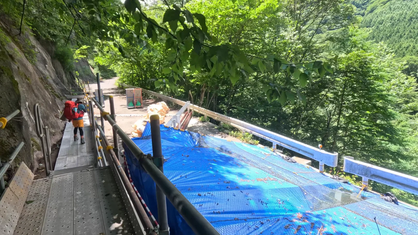
On the Ichinosawa side, check the Ichinosawa forest road before you go. When I hiked it in July 2025, the forest road was already under construction, and I passed the roadworks on a temporary walkway.
According to the Azumino City website, as of November 8, 2026, the Ichinosawa forest road is closed to general vehicles because of a collapse. Disaster recovery work began in late March 2026 and is scheduled to finish at the end of January 2027. Between the Ichinosawa gate and the collapsed section, only vehicles from taxi companies based in the city may pass, and from the collapsed section to Ichinosawa Trailhead you walk about 1.5 km.
Source: Azumino City website (Ichinosawa forest road) (checked November 8, 2026)
Clothing & Gear
I carried tent gear and water on this trip. On Day 1 you climb a rock ladder and scramble along rocky ground before Mt. Mae-Jonen, and the Day 2 climb to the summit is over big boulders as well. It was over 30°C at the parking lot in the summer heat, but the campsite and the summit area are much cooler, so bring gear for a 3,000 m-class mountain, including warm layers.
Hike Log
Mitsumata Trailhead → Mt. Mae-Jonen (4.7 km, approx. 6 h 20 min)
I set off from Mitsumata Trailhead at about 6:50 a.m. The trail starts in the forest. It is about 1,300 m of elevation gain to Mt. Mae-Jonen, and the steep climbing begins right away.
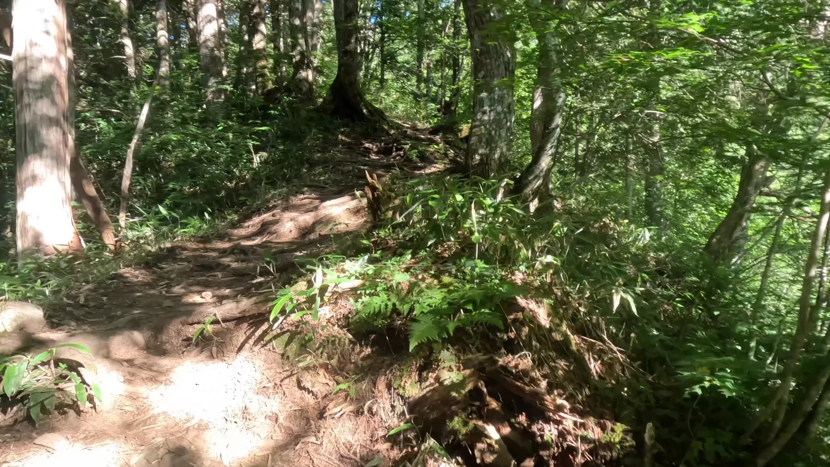
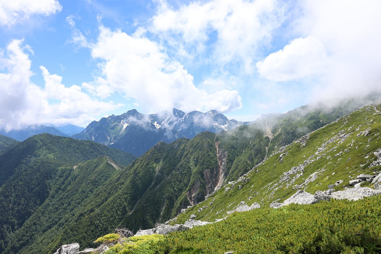
Once I got above the trees, the view opened up all at once and I could see along the ridge.
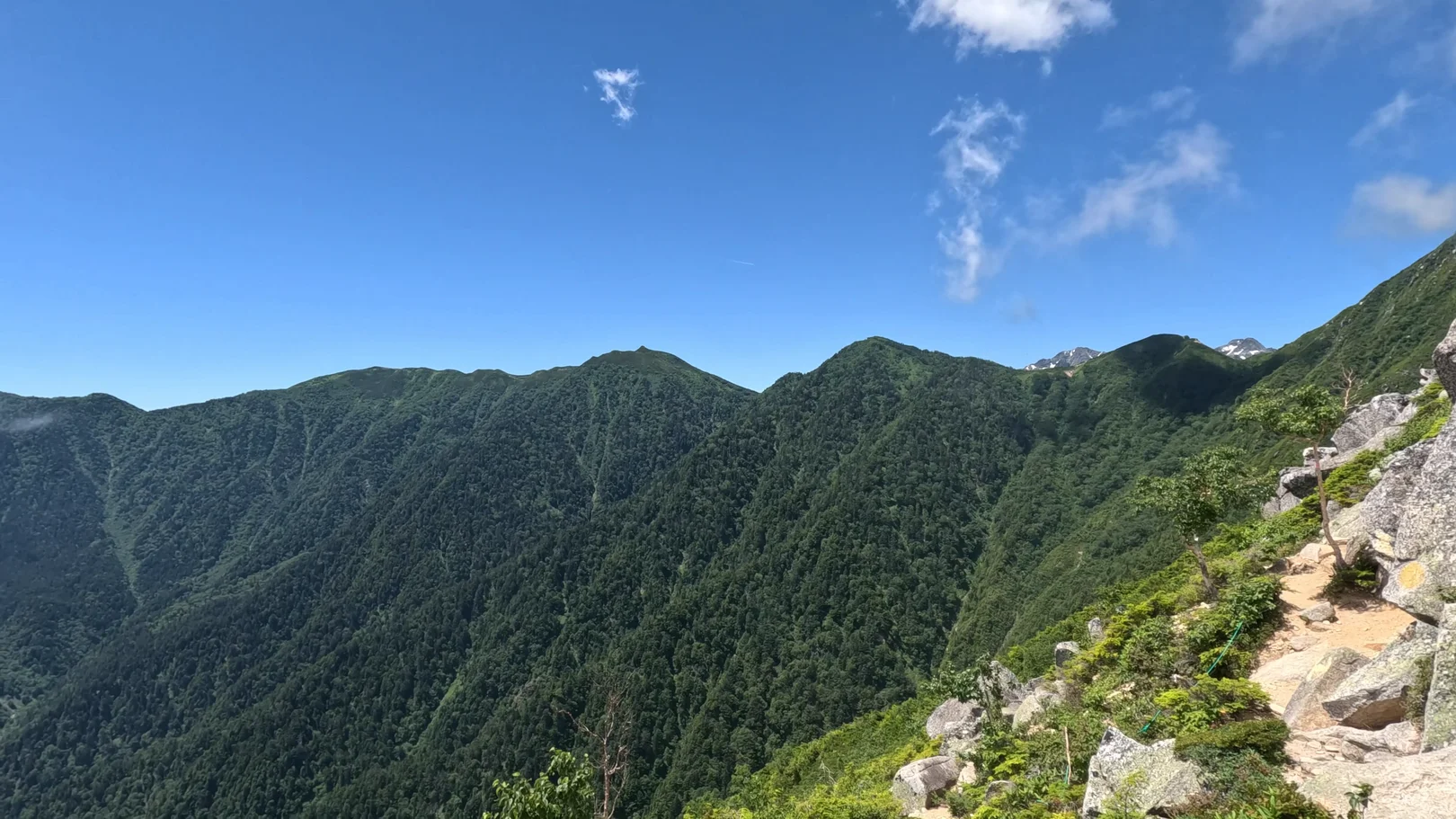
There is a ladder fixed to the rock along the way, and below Mt. Mae-Jonen the trail turns into a rocky ridge. Climbing this steep with tent gear and water on my back was tough.
It was summer, so I drank a lot of water. You can get water at Jonen Hut, but bring enough for a full day. I was carrying a lot of extra water for the group, which made the steep climb really hard.
I kept climbing up the rocks.
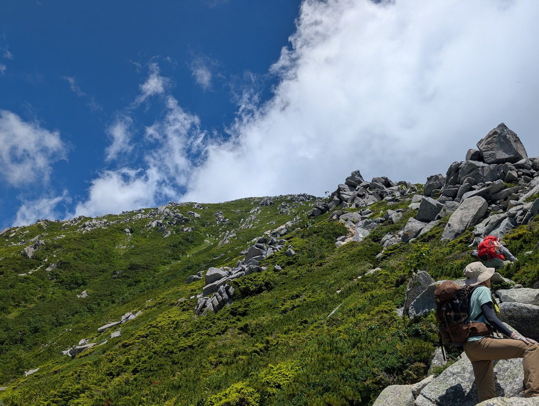
The Hotaka range came into view, and I finally made it up the steep climb. It was really hard. I was too tired to film some of the way. Even after the emergency hut came into sight, it never seemed to get closer.
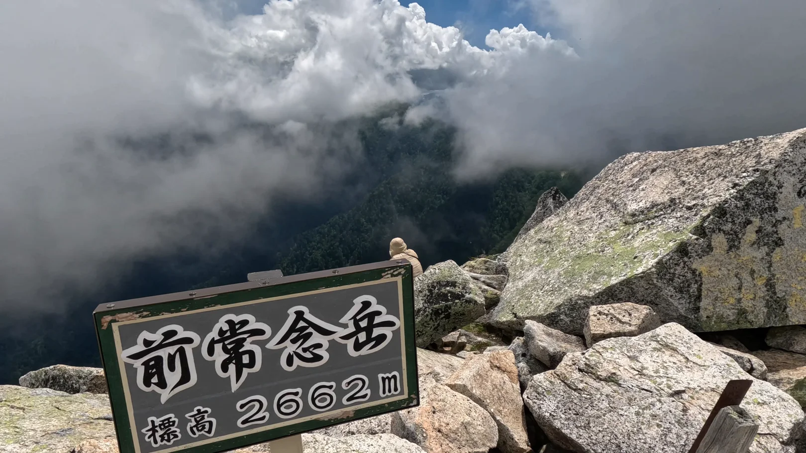
I reached Mt. Mae-Jonen at about 1:11 p.m. The summit sign reads "Elevation 2662 m," and clouds were rising out of the valley.
Mt. Mae-Jonen → Jonen Hut (1.8 km, approx. 2 h 20 min)
Past Mt. Mae-Jonen, the trail follows the ridge. Through gaps in the clouds I could see the Hotaka peaks.
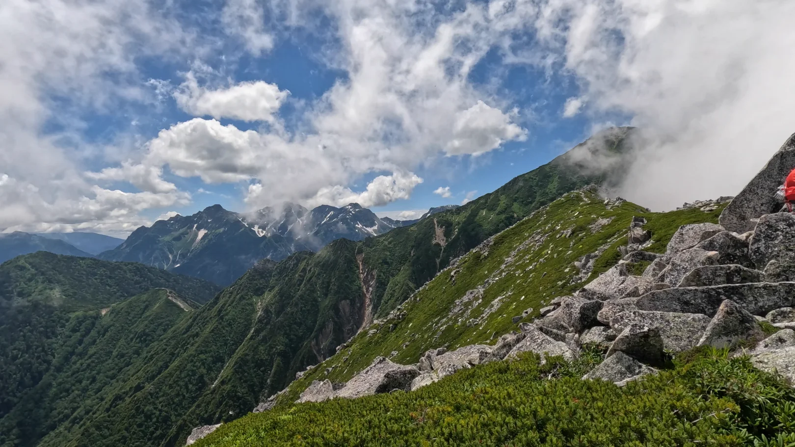
Clouds on the right, clear skies on the left, and the Hotaka peaks beyond. I was still tired from the climb and my footage came out shaky, but it was an unbelievably beautiful ridge walk!
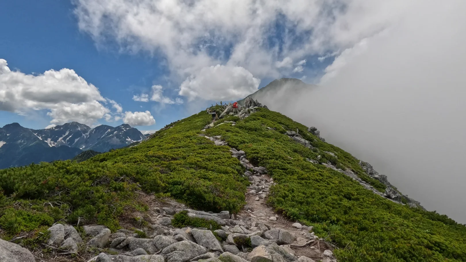
Even now, after the hike, the beauty stays with me. It truly moved me.
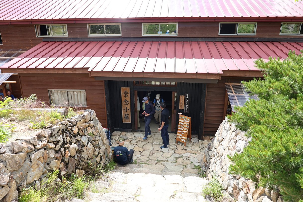
The plan had been to go over the summit of Mt. Jonen to the hut. However, the climb had worn me out, so I took the shortcut to Jonen Hut that skips the summit. Before long, the red roof of Jonen Hut came into view. The hut sits on Jonen-norikoshi, at 2,460 m, and its campsite was my stop for the night.
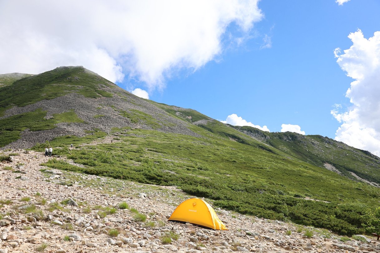
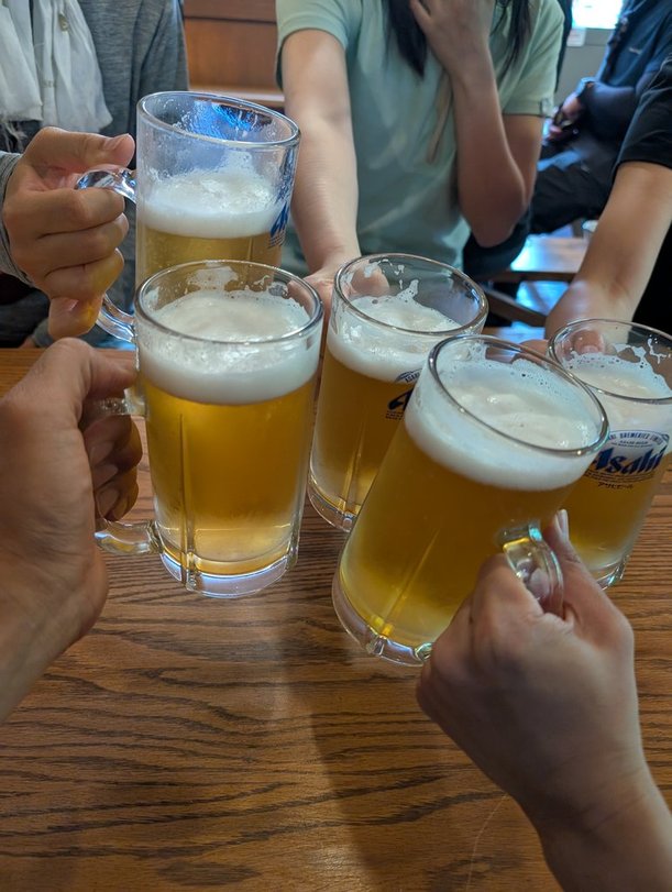
Beer, the best!
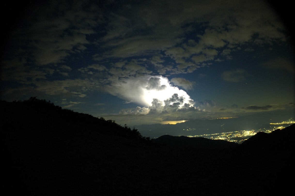
I was tired and tried to go straight to sleep, but I could hear thunder nearby. Maybe it was raining over Azumino?
Morning at the Jonen Hut Campsite (overnight, 2,450 m)
Day 2 began at the campsite. Before dawn, a sea of clouds spread out beyond the tents.
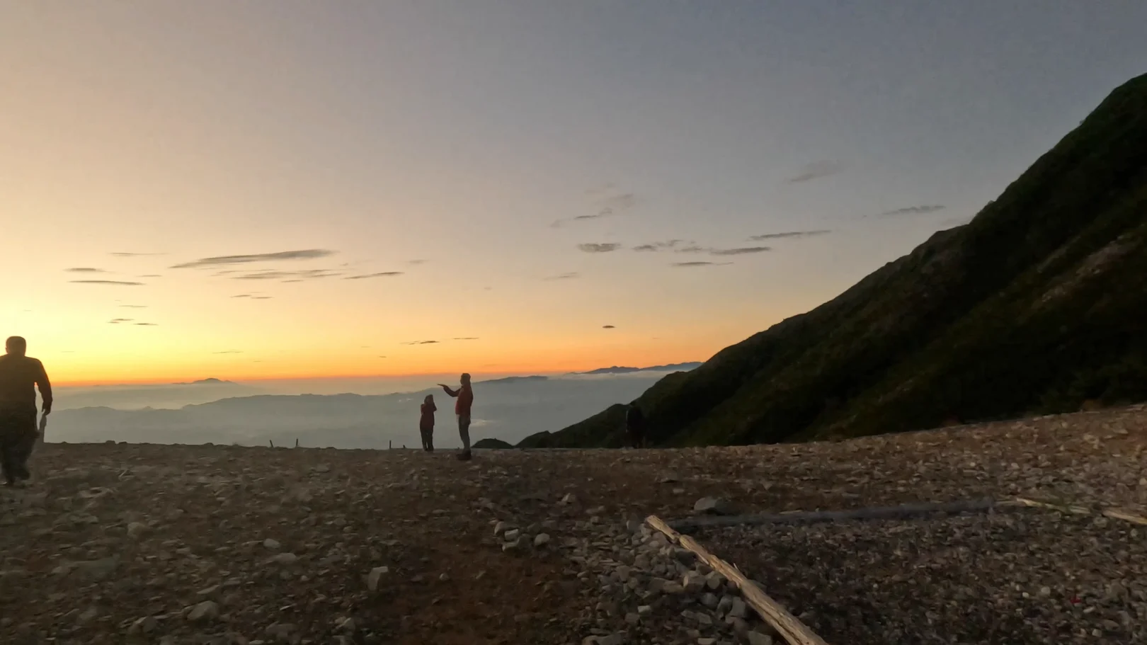
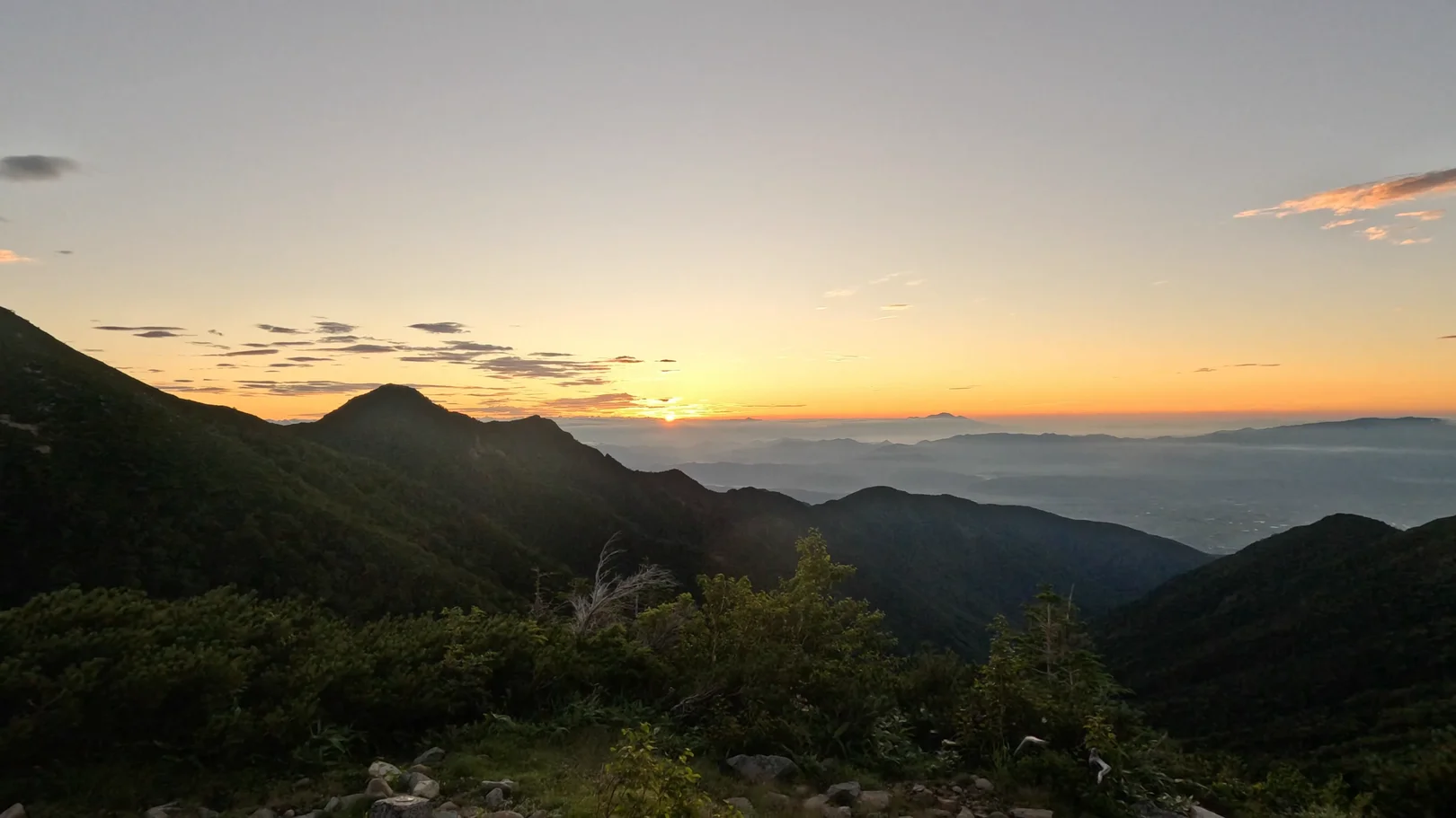
Then the sun rose over the sea of clouds. This is the kind of morning you only get by camping up here.
Once the sun was up, Mt. Yari beyond the campsite glowed in the morning light, behind the yellow tents and the red roof of Jonen Hut.
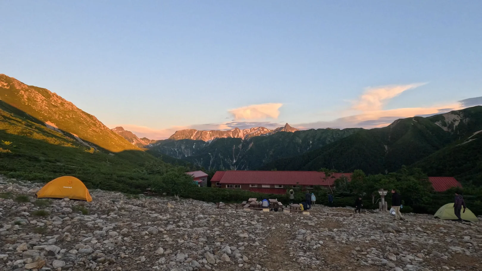
4:50 a.m. Jonen Hut campsite, 2,450 m
The morning was cold, but the sunrise was the best.
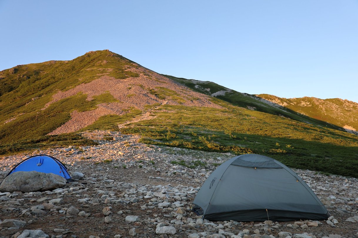
The view toward Mt. Mae-Jonen was beautiful too.
Jonen Hut → Summit (0.9 km, approx. 55 min)
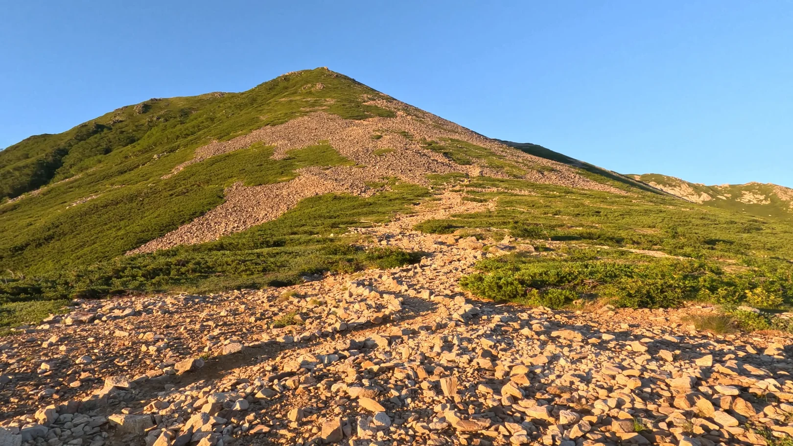
I left Jonen Hut for the summit at about 5:06 a.m. Looking up from the hut, Mt. Jonen stood in the morning light.
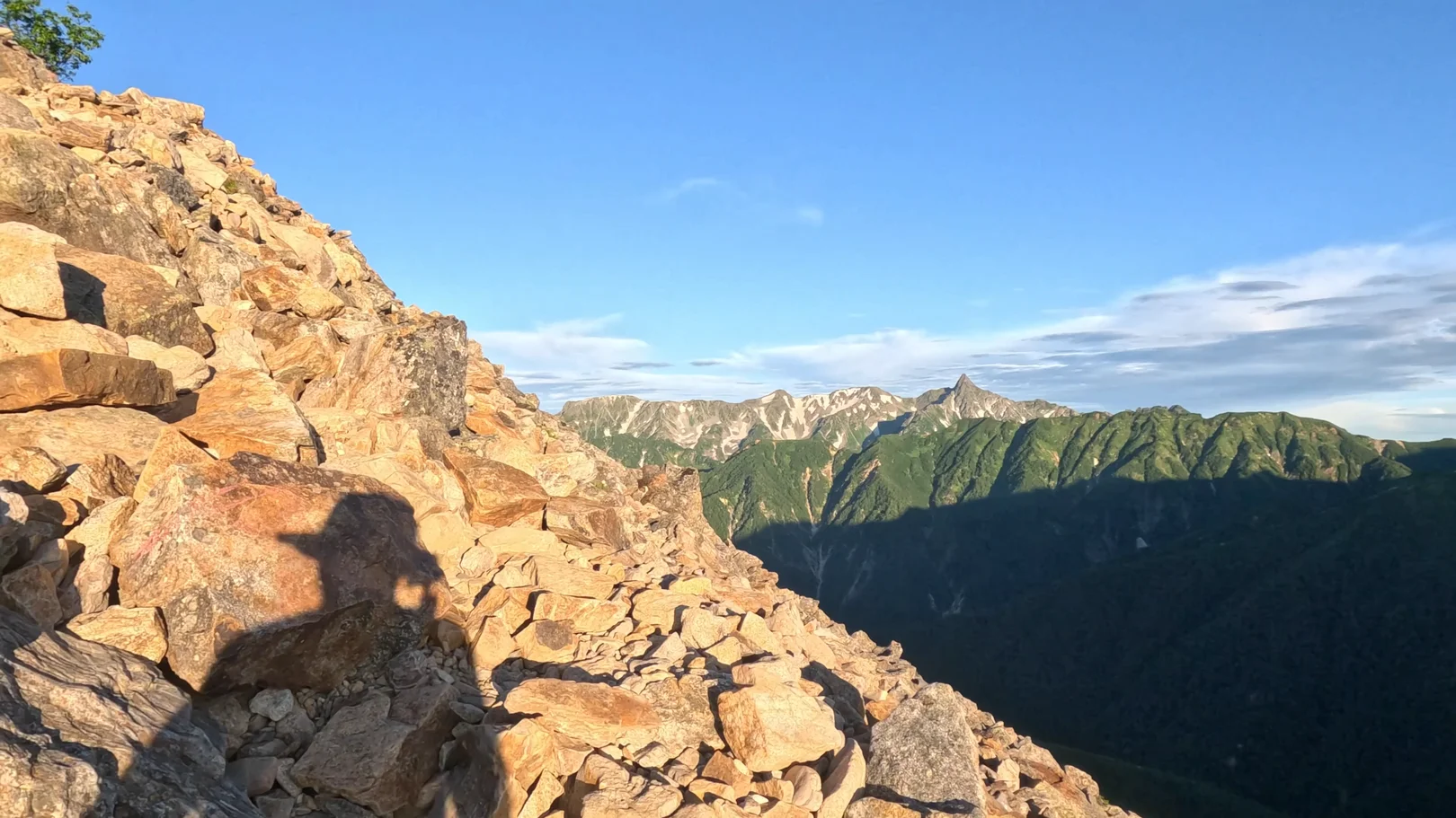
The way to the top is a steep climb over piled-up boulders. Mt. Yari was visible beyond the rocks.
Summit of Mt. Jonen (2,857 m, approx. 48 min stop)
I reached the summit of Mt. Jonen just after 6 a.m. At 2,857 m, it was the high point of the trip. There is a small shrine at the top.
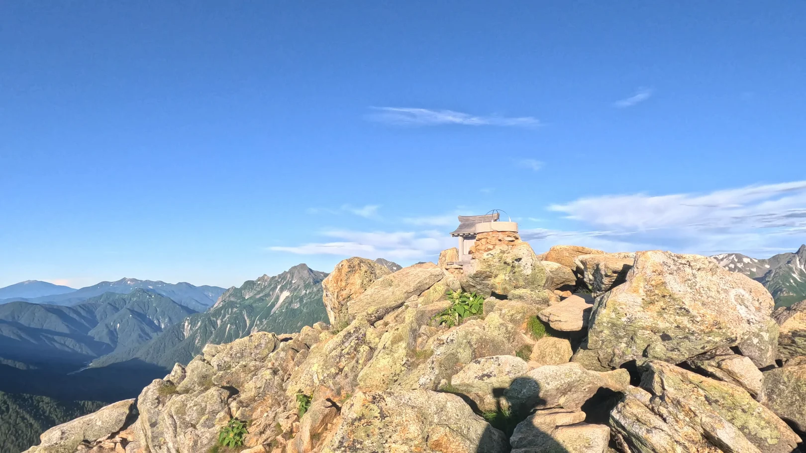
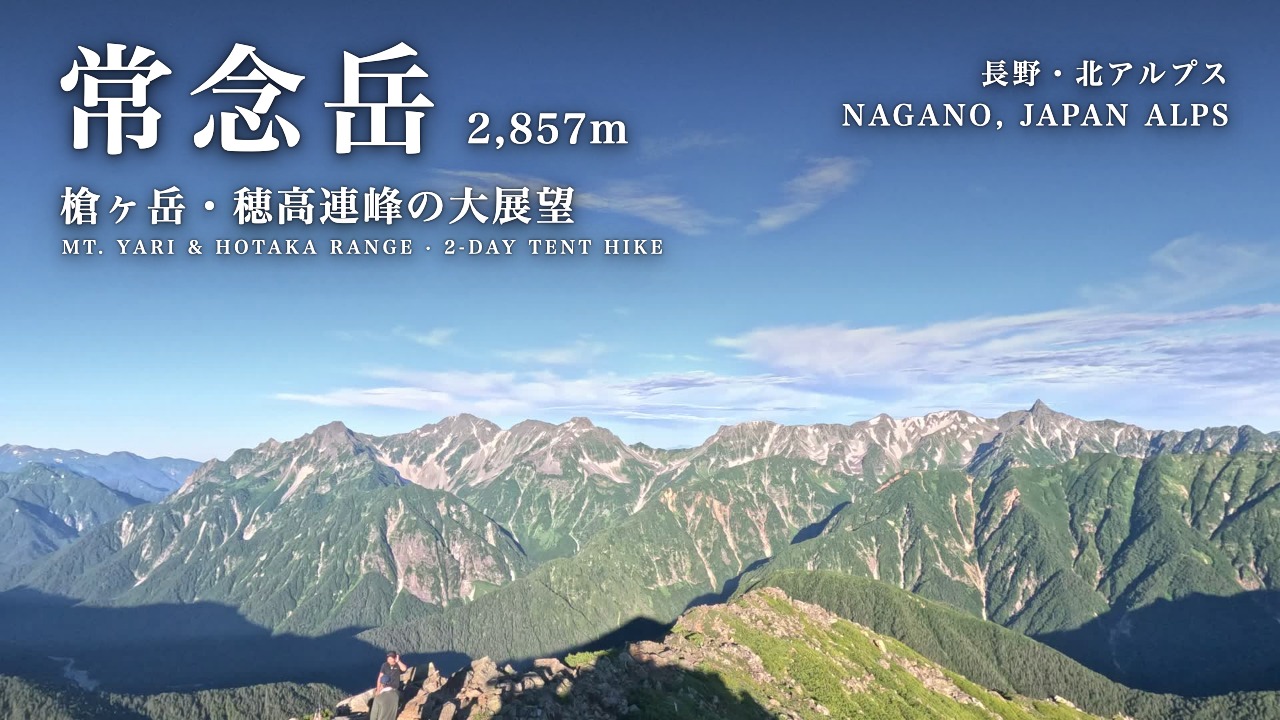
Beyond the shrine, Mt. Yari and the Hotaka range lined up across the horizon.
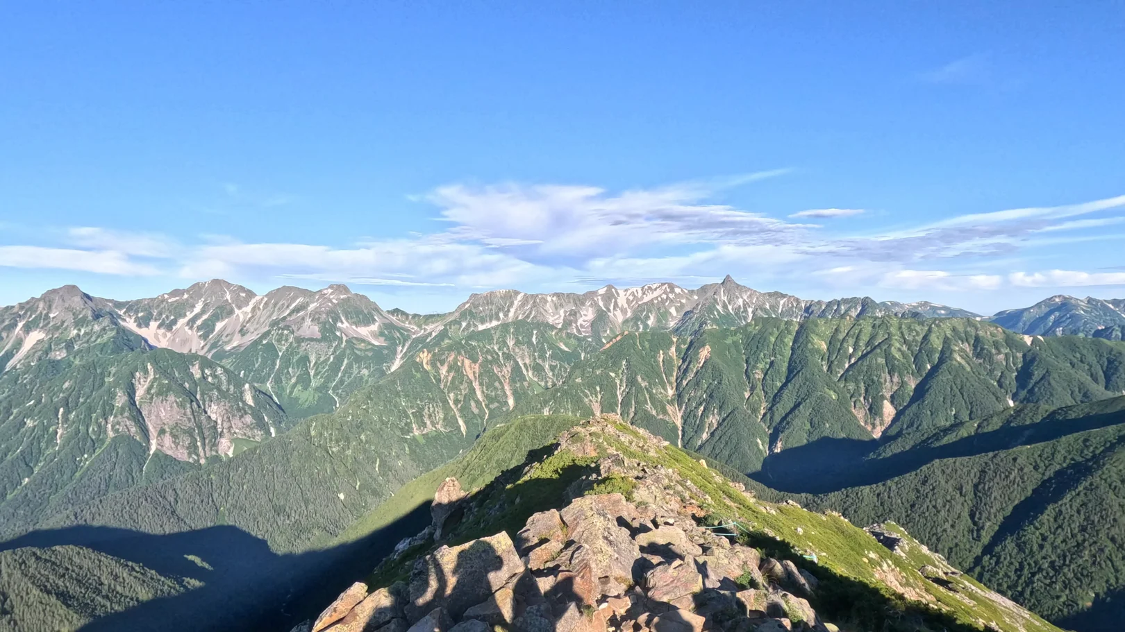
About 6:20 a.m. Near the summit of Mt. Jonen
Mt. Fuji was visible in the far distance too. It was a beautiful view, and I stayed at the summit for about an hour taking in the Yari and Hotaka peaks.
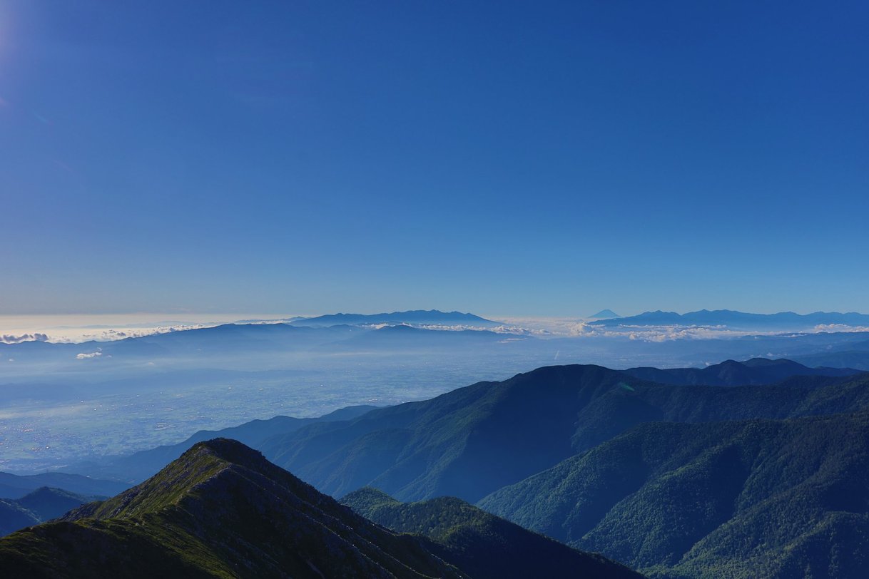
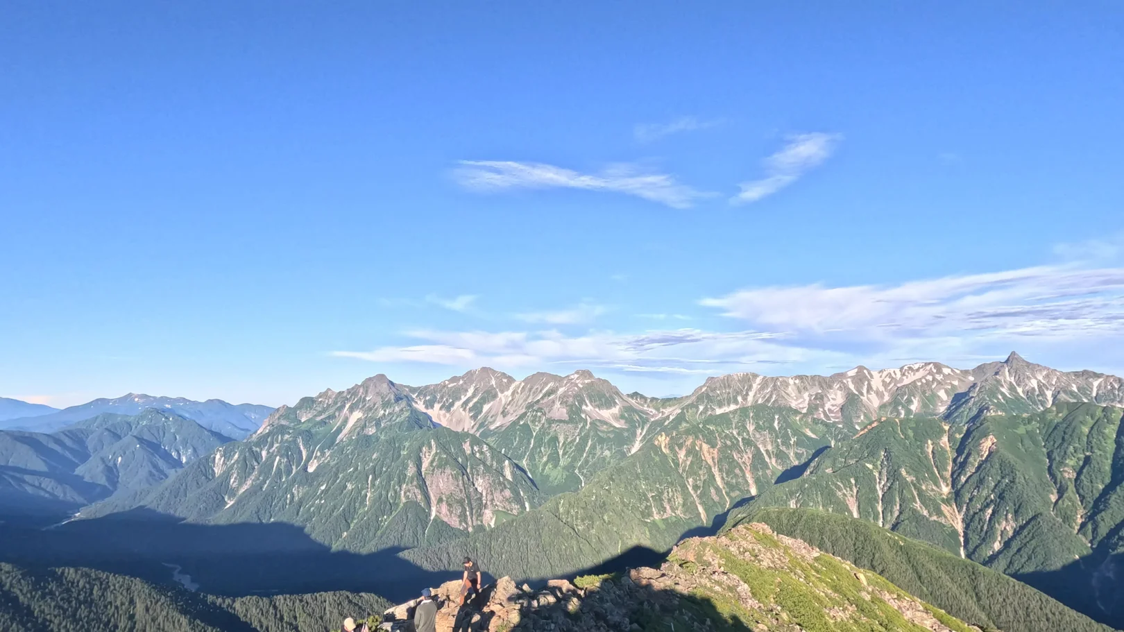
I just kept looking at the Hotaka range. Beautiful.
From the summit, I headed down to Jonen Hut with Mt. Yari on my left, which took about an hour over 1.0 km. Back at the hut, I spent about an hour and a half before moving on.
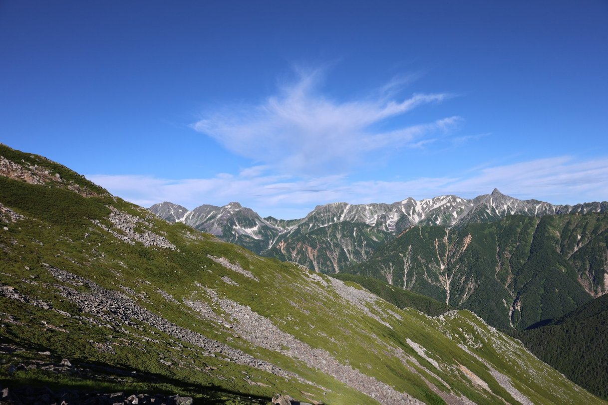
I packed up the tent and headed for the parking lot. I had planned to go back to Mitsumata, but I was tired and decided to descend to Ichinosawa instead. I had Jonen Hut arrange a taxi for me, and set off for home.
Jonen Hut → Ichinosawa Trailhead (7.1 km, approx. 3 h 20 min)
From Jonen-norikoshi, the trail drops toward Ichinosawa. As I started down, clouds gradually rolled in. Partway down there is a sign reading "5.7 km to Ichinosawa."
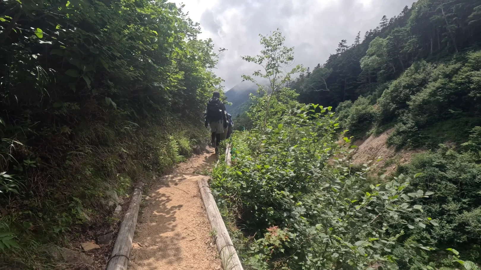
Along the way, I filled up with water from a spring coming out of the rock. From there the trail follows the stream.
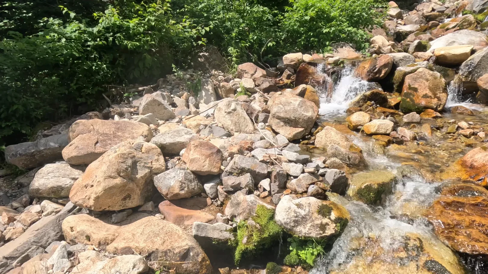
The spring water was cold and delicious. Following the stream down, I saw a building ahead on the trail and arrived at Ichinosawa Trailhead.
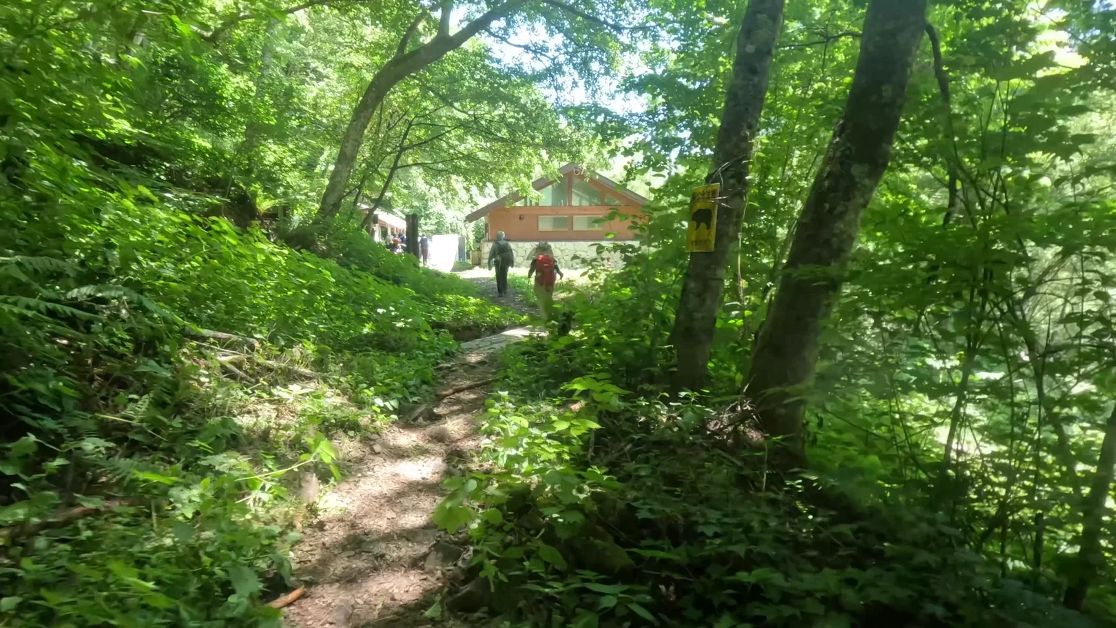
Past the trailhead, the forest road was under construction, and I got through on a temporary walkway.
That completed the 2 days and about 15.5 km. There were few taxis and they hardly came, so many people were waiting a long time at the stand. We had booked ahead, so our wait was short. I recommend booking one.
Onsen After the Hike
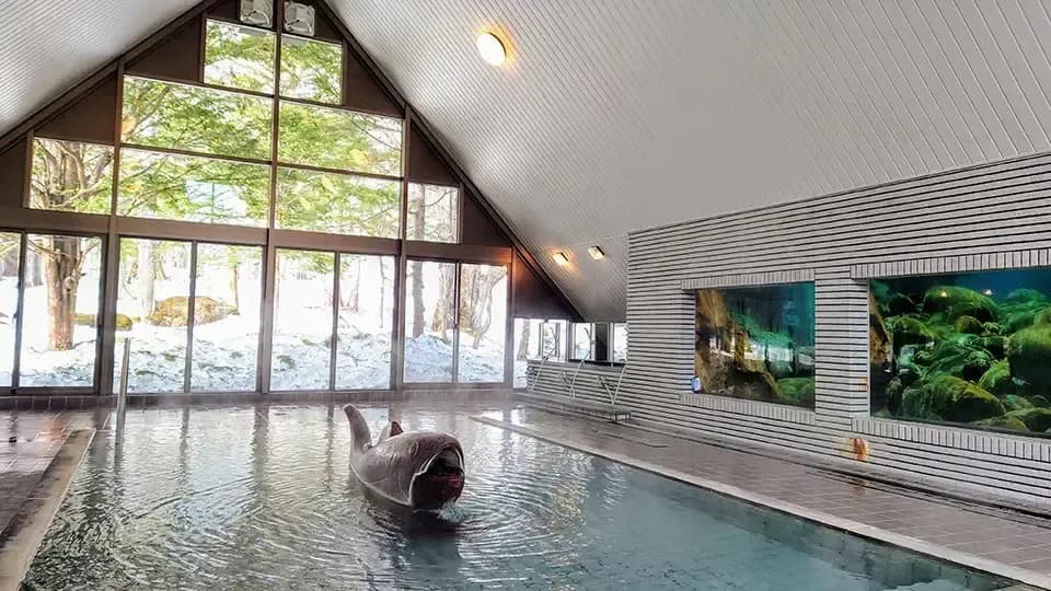
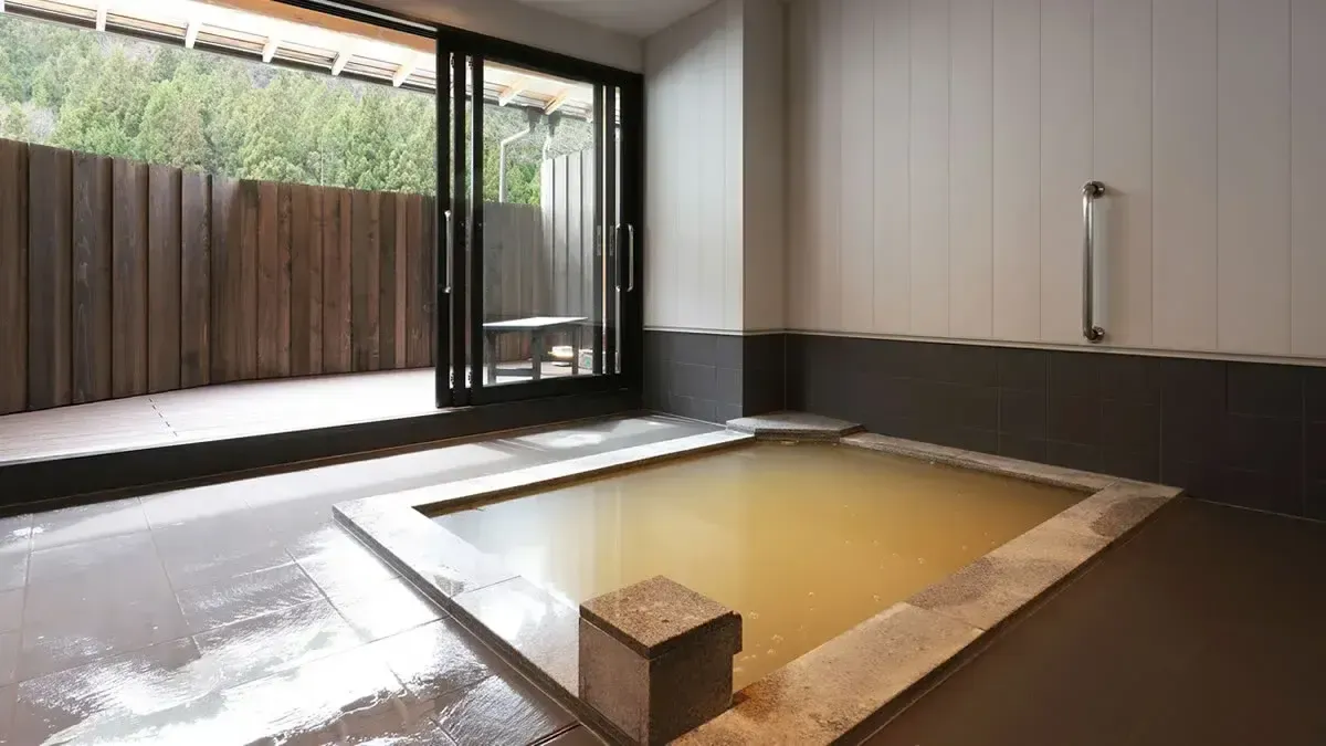
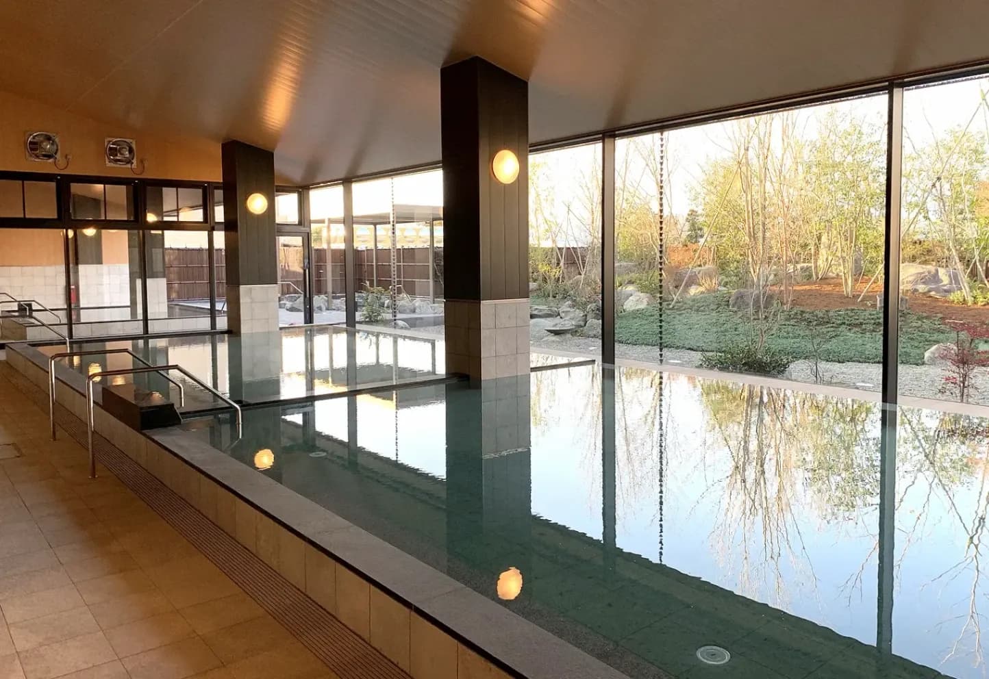
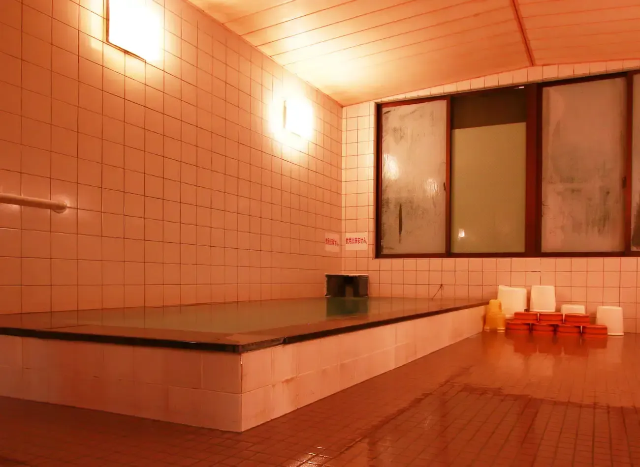
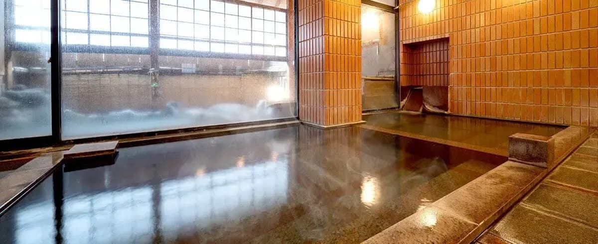
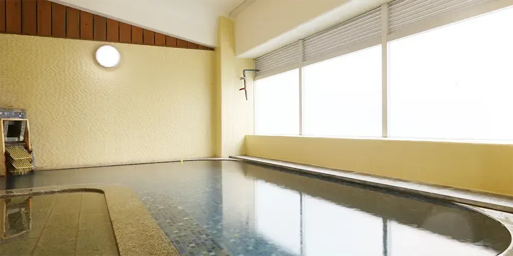
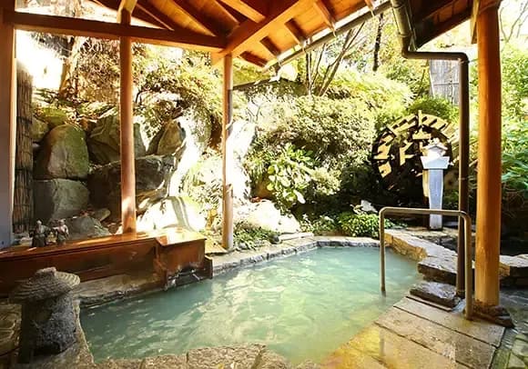
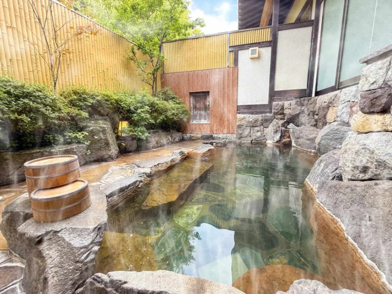
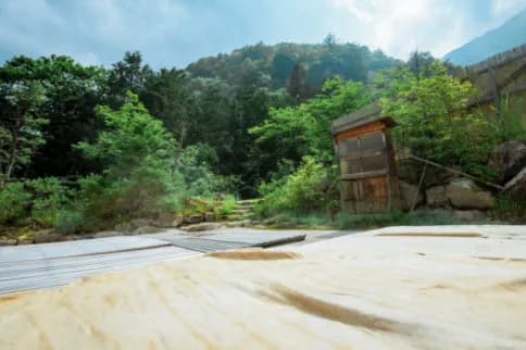
A soak in an onsen is what you want after a hike like this! This time I took a taxi from Ichinosawa back to the Mitsumata parking lot and drove my own car to Azumino Misato Onsen Fine View Muroyama, a hot spring on a hill in Misato, Azumino, that offers both day bathing and overnight stays.
The view from Fine View Muroyama was truly beautiful!
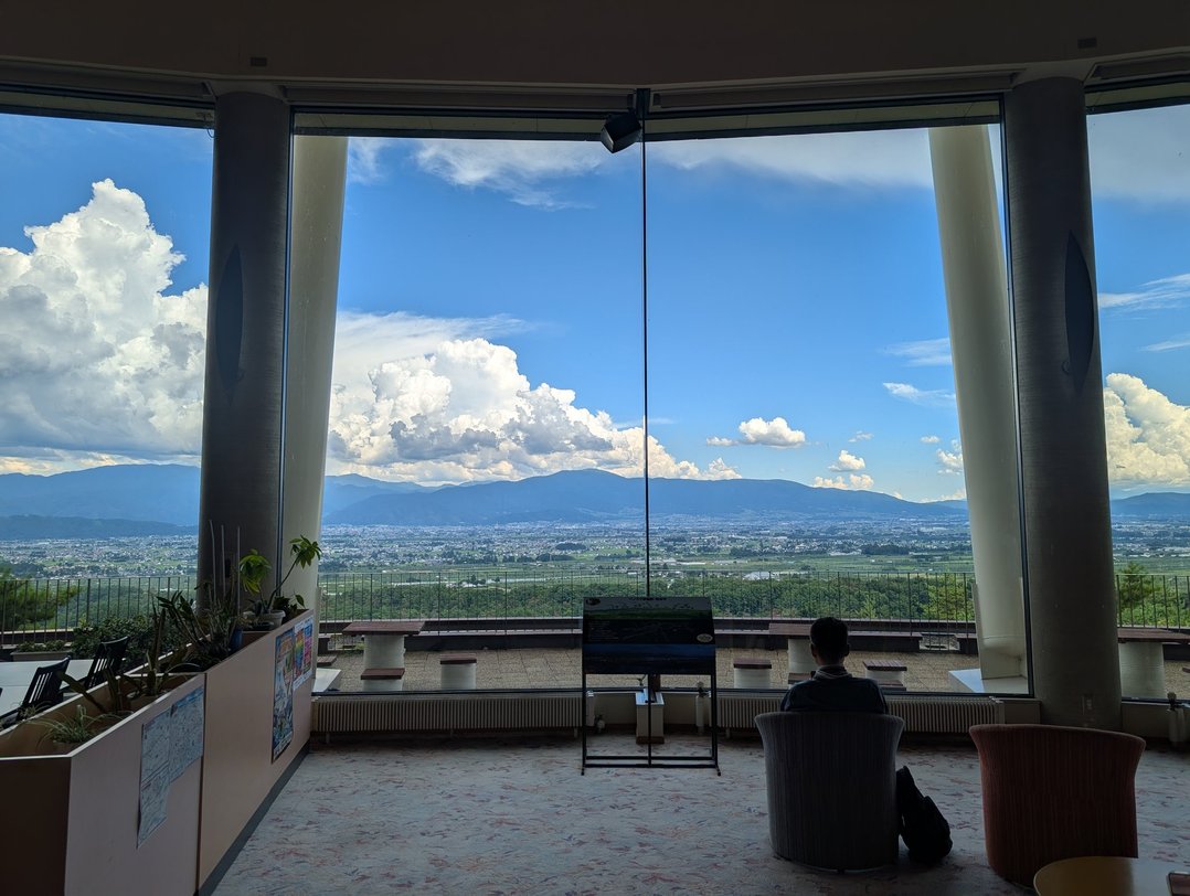
Also on the Azumino side, Hotaka Onsen-kyo sits at the foot of Mt. Tsubakuro, with day-use baths and inns close together.
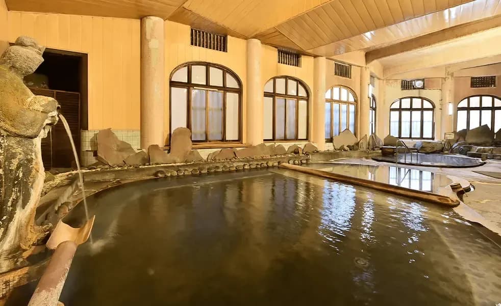
Azumino Shakunage no Yu is a day-use bathhouse in Hotaka Onsen-kyo. Hinokiyu no Yado Shohaku is an inn in the same area that also takes day bathers. Both use water piped from the Nakabusa Gorge, and the supply was damaged by a debris flow on August 8, 2026. Shakunage no Yu reopened in September. Please check that they are open before you go.
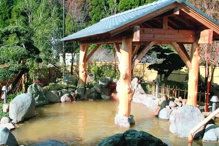
Nakabusa Onsen is further up the Nakabusa road from Hotaka Onsen-kyo, at the very end, and offers both day bathing and overnight stays. The Nakabusa road was closed by the same debris flow, and as of November 8, 2026 it is open on a provisional basis. It is open from 5 a.m. to 6 p.m. to vehicles up to 2.2 m wide, 3.0 m high and under 8 t, and may be closed without notice in rain (source: Azumino City website (Nakabusa road), checked November 8, 2026).
Azumino Misato Onsen Fine View Muroyama
| Mon | Tue | Wed | Thu | Fri | Sat | Sun | Hol | |
|---|---|---|---|---|---|---|---|---|
| 10:00 - 21:30 | 10:00 - 21:30 | 10:00 - 21:30 | 10:00 - 21:30 | 10:00 - 21:30 | 10:00 - 21:30 | 10:00 - 21:30 | 10:00 - 21:30 | 10:00 - 21:30 |

| Mon | Tue | Wed | Thu | Fri | Sat | Sun | Hol | |
|---|---|---|---|---|---|---|---|---|
| 09:30 - 21:30 | 09:30 - 21:30 | 09:30 - 21:30 | 09:30 - 21:30 | 09:30 - 21:30 | 09:30 - 21:30 | 09:30 - 21:30 | 09:30 - 21:30 | 09:30 - 21:30 |
| Mon | Tue | Wed | Thu | Fri | Sat | Sun | Hol | |
|---|---|---|---|---|---|---|---|---|
| 16:00 - 20:00 | 16:00 - 20:00 | 16:00 - 20:00 | 16:00 - 20:00 | 16:00 - 20:00 | 16:00 - 20:00 | 14:00-20:00 | 14:00-20:00 | 14:00-20:00 |
| Mon | Tue | Wed | Thu | Fri | Sat | Sun | Hol | |
|---|---|---|---|---|---|---|---|---|
| 09:30 - 16:00 | 09:30 - 16:00 | 09:30 - 16:00 | 09:30 - 16:00 | 09:30 - 16:00 | 09:30 - 16:00 | 09:30 - 16:00 | 09:30 - 16:00 | 09:30 - 16:00 |
Where to Stay Nearby
For a night before or after the hike, you can stay at Fine View Muroyama, Hinokiyu no Yado Shohaku in Hotaka Onsen-kyo, or Nakabusa Onsen. Please check Nakabusa Onsen's official website for its 2026 operating season.
Azumino Misato Onsen Fine View Muroyama
| Mon | Tue | Wed | Thu | Fri | Sat | Sun | Hol | |
|---|---|---|---|---|---|---|---|---|
| 10:00 - 21:30 | 10:00 - 21:30 | 10:00 - 21:30 | 10:00 - 21:30 | 10:00 - 21:30 | 10:00 - 21:30 | 10:00 - 21:30 | 10:00 - 21:30 | 10:00 - 21:30 |
| Mon | Tue | Wed | Thu | Fri | Sat | Sun | Hol | |
|---|---|---|---|---|---|---|---|---|
| 16:00 - 20:00 | 16:00 - 20:00 | 16:00 - 20:00 | 16:00 - 20:00 | 16:00 - 20:00 | 16:00 - 20:00 | 14:00-20:00 | 14:00-20:00 | 14:00-20:00 |
| Mon | Tue | Wed | Thu | Fri | Sat | Sun | Hol | |
|---|---|---|---|---|---|---|---|---|
| 09:30 - 16:00 | 09:30 - 16:00 | 09:30 - 16:00 | 09:30 - 16:00 | 09:30 - 16:00 | 09:30 - 16:00 | 09:30 - 16:00 | 09:30 - 16:00 | 09:30 - 16:00 |
FAQ
How long does it take to hike Mt. Jonen?
On this traverse, Day 1 took about 8 h 45 min and Day 2 about 7 h 20 min, both including breaks. The steep climb from Mitsumata to Mt. Mae-Jonen alone took about 6 h 20 min.
Why didn't you go over the summit on Day 1?
I had planned to, but the steep climb up to Mt. Mae-Jonen wore me out. I climbed to the summit the next morning from the campsite, which took about 55 minutes.
Can you drive to Ichinosawa Trailhead?
Not by private car at the moment (checked November 8, 2026). You take a taxi as far as the collapsed section and walk about 1.5 km from there. See the Access section above and the Azumino City website for details.
Can you see Mt. Yari from the Jonen Hut campsite?
Yes. At about 4:50 a.m. on Day 2, I watched Mt. Yari glow in the morning light beyond the tents.
Are there onsen to visit after hiking Mt. Jonen?
After my hike I bathed at Azumino Misato Onsen Fine View Muroyama in Misato, Azumino. On the Azumino side, Hotaka Onsen-kyo also has the day-use bathhouse Azumino Shakunage no Yu and the inn Hinokiyu no Yado Shohaku, which also takes day bathers. Further up the Nakabusa road is Nakabusa Onsen.
Summary
Once you get past the long, steep climb to Mt. Mae-Jonen, Mt. Jonen lets you walk with Mt. Yari and the Hotaka range in view. Climbing with tent gear on my back was really hard, but the trip was full of highlights: the cloud-swept ridge, sunrise over a sea of clouds, and the huge panorama from the summit. As of November 2026 the forest road on the Ichinosawa side is closed, so please check the latest information from Azumino City before you go. Do try it as a tent trip at least once!
Watch the Video
The video chapters follow roughly the same sections as the hike log above.
- 00:00 Opening
- 00:28 About Mt. Jonen
- 00:54 Route Overview
- 01:39 Mitsumata → Mt. Mae-Jonen
- 05:37 Mt. Mae-Jonen → Jonen Hut
- 09:23 Morning at Jonen Hut
- 10:09 Jonen Hut → Summit
- 11:32 Summit of Mt. Jonen, 2,857 m
- 13:20 Summit → Jonen Hut
- 13:54 Jonen-norikoshi → Down to Ichinosawa
- 15:11 Along the stream to Ichinosawa Trailhead
*Times and distances are approximate and come from my own record. Road conditions for the Ichinosawa forest road and the Nakabusa road were checked on the Azumino City website on November 8, 2026. Onsen fees, opening hours and mountain hut seasons may change. Please check current trail, road and hut conditions before your hike.