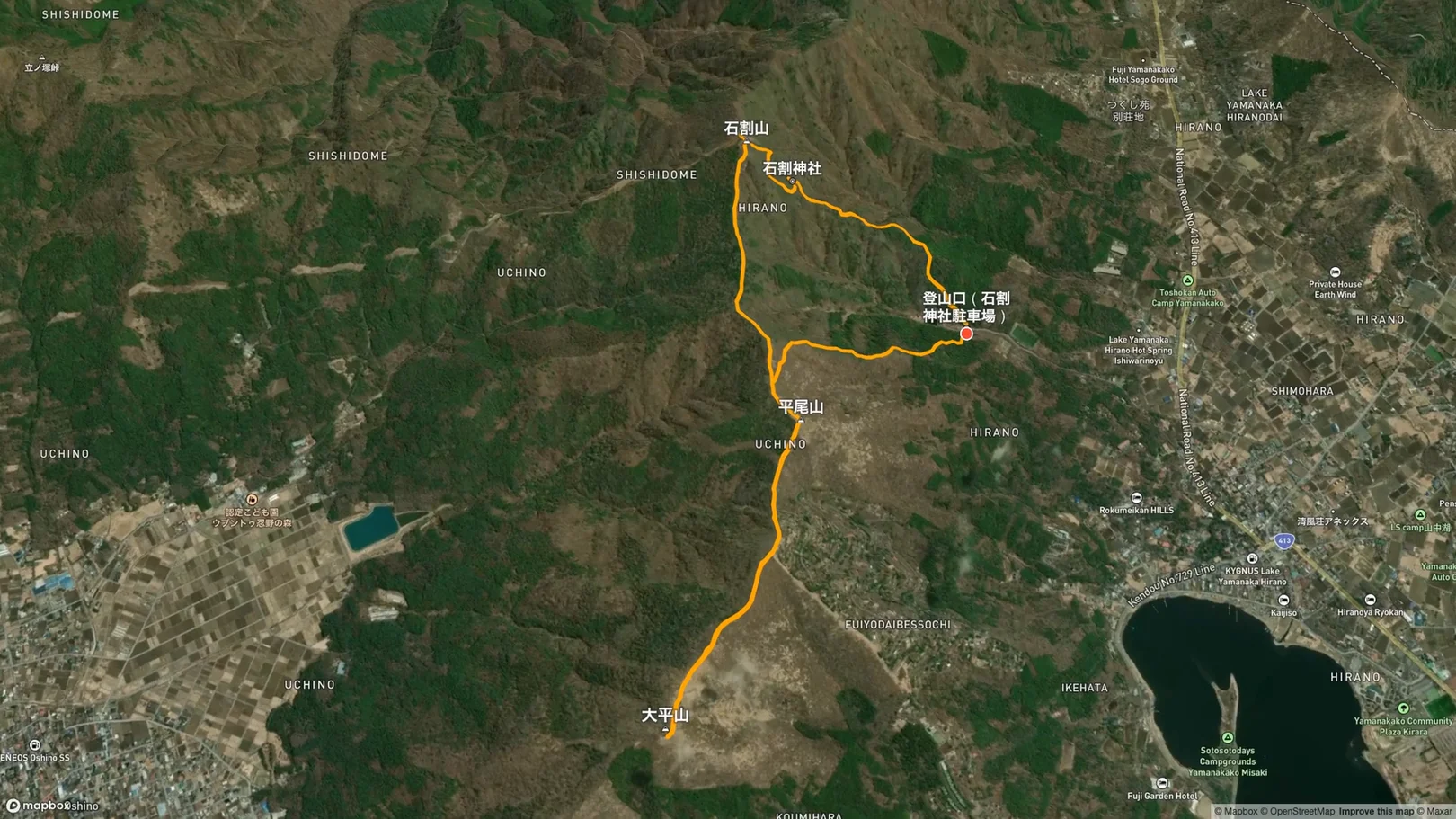
On Sunday, April 27, 2025, I hiked Mt. Ishiwari (1,413 m) in Yamanakako, Yamanashi. I started from the Ishiwari Shrine parking lot and walked a loop of about 7.0 km through Ishiwari Shrine, the summit, Mt. Hirao and Mt. Ohira. The cherry trees at the trailhead were in full bloom, and from the summit there was an unobstructed view of Mt. Fuji!
Route Data
Item | Record |
|---|---|
Date | Sunday, April 27, 2025 |
Distance | approx. 7.0 km |
Total time | approx. 4 h 45 min (incl. breaks) |
Elevation gain | approx. +640 m |
High point | 1,413 m (Mt. Ishiwari) |
Route | Trailhead (Ishiwari Shrine parking) → Ishiwari Shrine → Mt. Ishiwari → Mt. Hirao → Mt. Ohira → Mt. Hirao → Trailhead |
Access & Parking
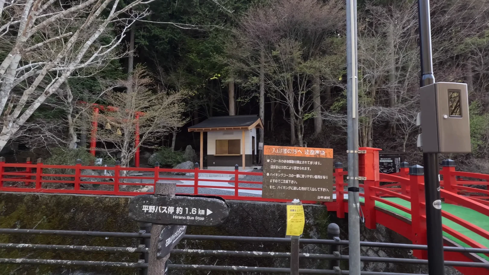
The trailhead is the Ishiwari Shrine parking lot. The cherry trees there were in full bloom when I arrived. I got there at around 7:30 a.m., and there were already cars parked, with only a few spaces left.
https://maps.app.goo.gl/BXLnrmV8k9zMPHNH7
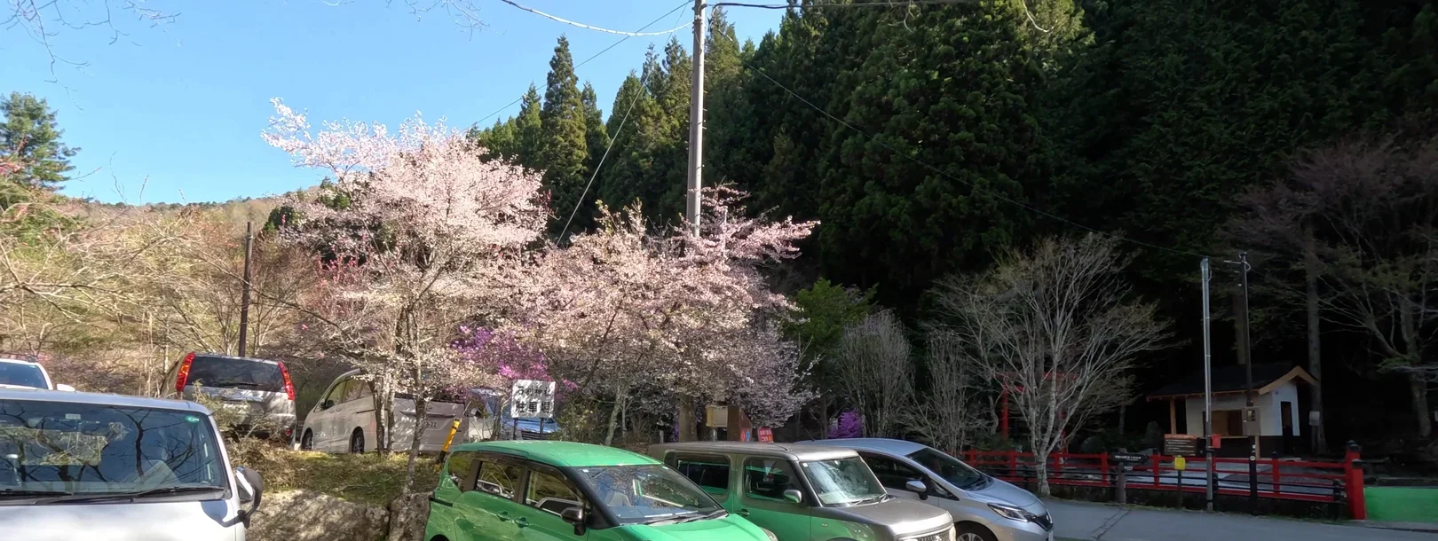
The hike starts across the red bridge beside the trailhead. As far as the shrine, the trail is a pilgrimage path.
Clothing & Gear
It was a blue-sky day, and I saw no snow on the trail. That only describes the day I was there. The breeze was cool, but it was warm enough that I hiked in long sleeves with no outer layer.
As for the trail, parts of the stone stairway have handrails. The crack in the rock is narrow, and some people ducked to get through. Between the shrine and the summit, the path narrows through bamboo grass, and in places you step over fallen trees. I didn't see any chain sections, and around the crack there were just handrails and rope-like fencing. The stone steps early on and the stairs toward Mt. Ohira were the hardest parts, but I think beginners can manage if they take it slowly.
Hike Log
Trailhead → Ishiwari Shrine (1.1 km, approx. 40 min)
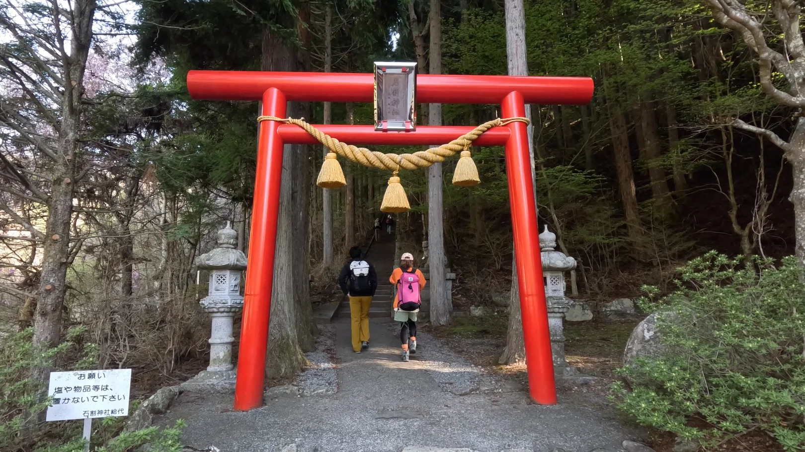
I set off at about 8:05 a.m. A short way along stands a red torii gate with a thick straw rope and bells hanging from it. The hikers ahead of me passed through it.
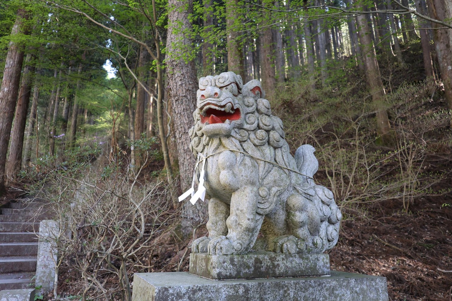
A komainu guardian statue.
Through the gate, the stairway of about 400 stone steps begins, running straight up through the cedars. Further up it becomes a long straight flight with a handrail. The climb keeps going, so I found the steps quite tough.
Past the steps there's a spot with small shrines and stone monuments, and then a gravel path through deciduous woods. The trail goes by a junction, crosses a bridge with pipe guardrails, follows a stretch of boardwalk, and finishes with another flight of steps with a handrail up to the shrine. There were several hikers ahead of me along here.
Ishiwari Shrine (approx. 20 min stop)
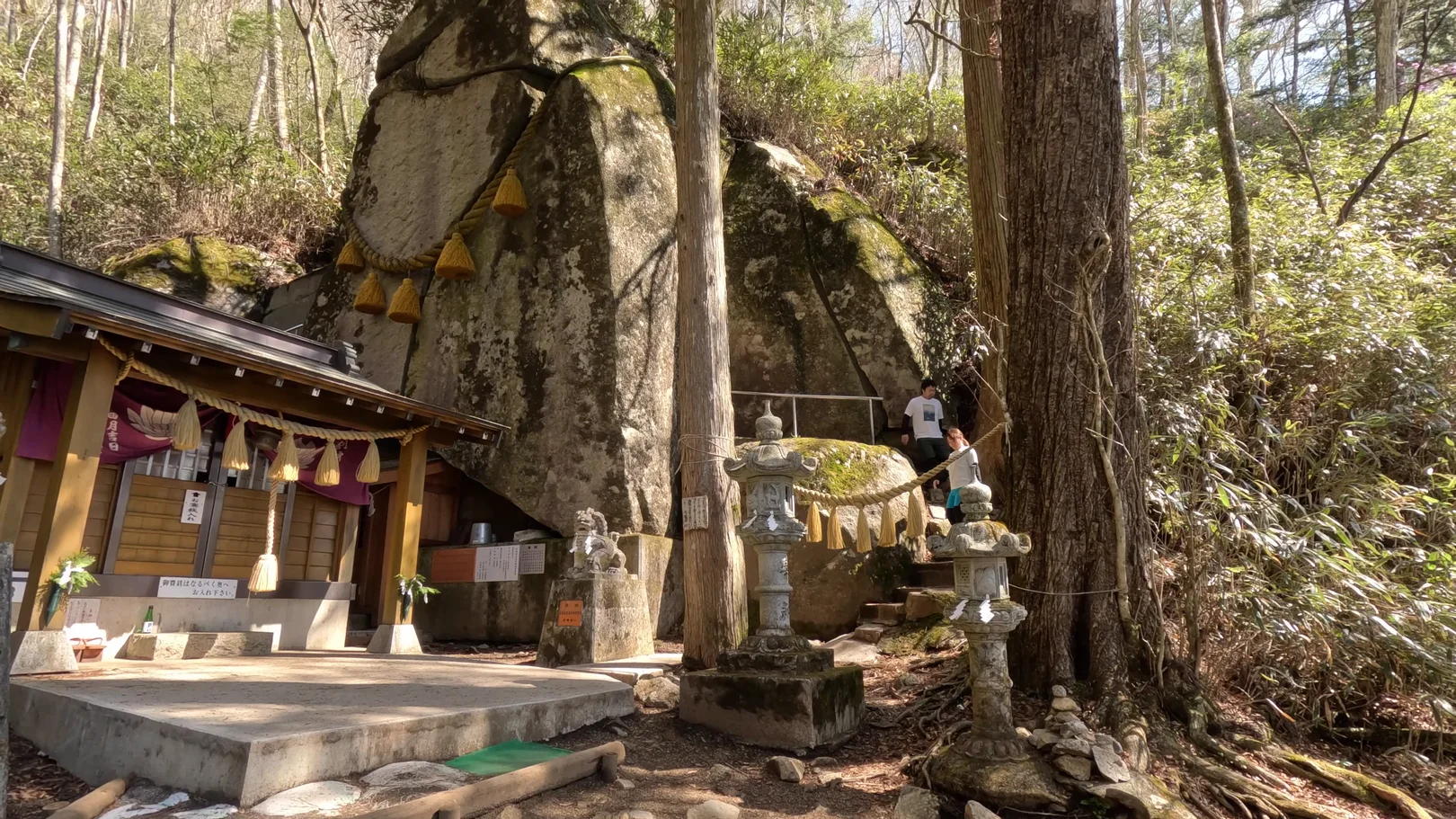
I reached Ishiwari Shrine at about 8:45 a.m. The object of worship here is a huge split rock, and passing through the crack three times is said to bring good luck.
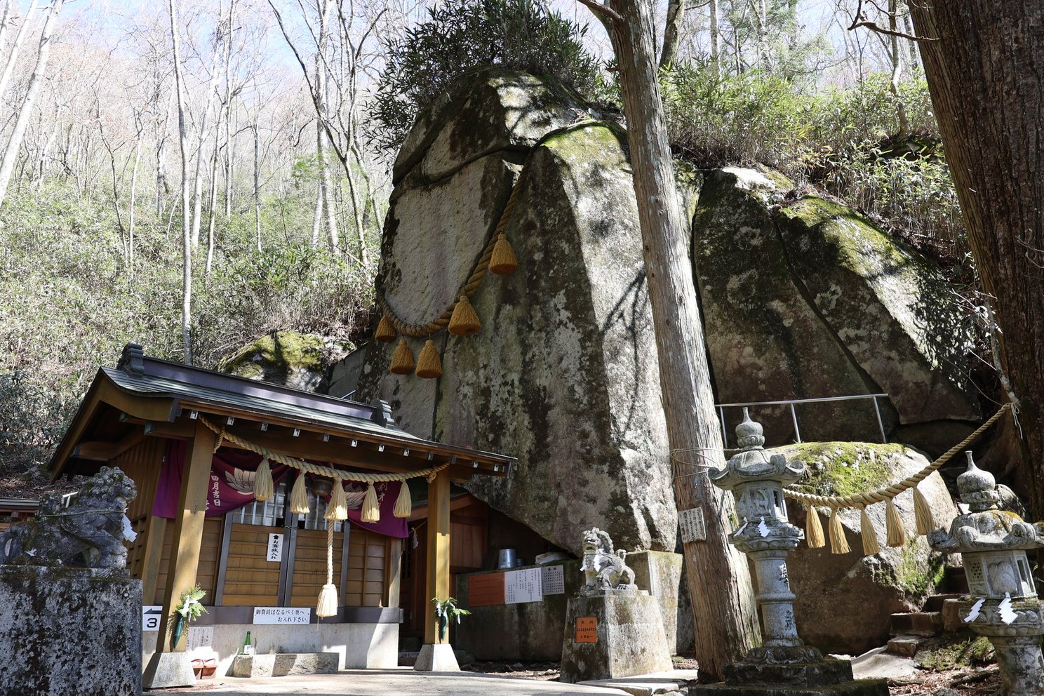
I went through three times as part of my visit. This is the crack. The rock walls rise straight up on either side, with light coming through at the far end.
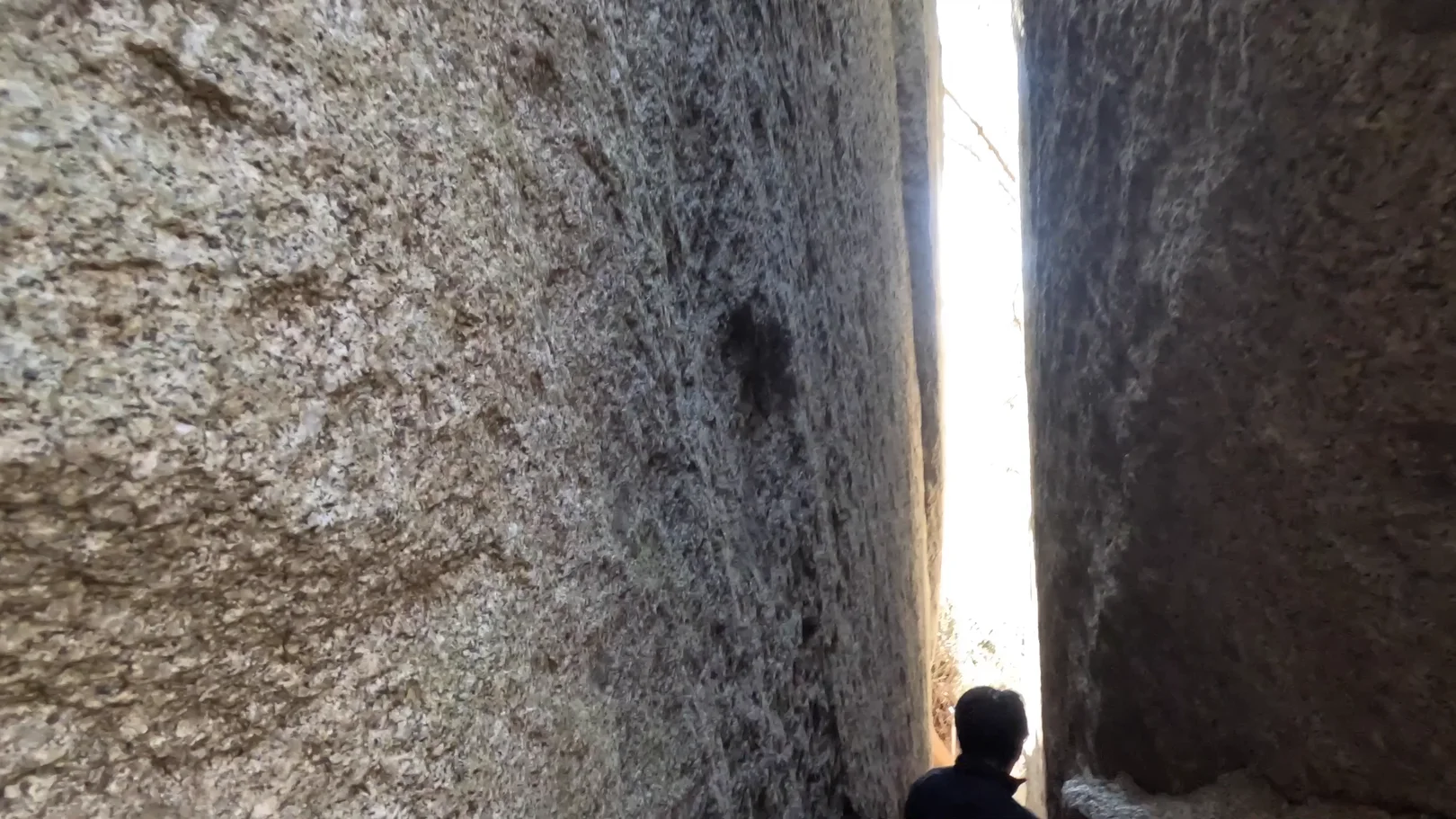
It's narrow inside, and the person in front of me ducked to get through. You can make it through with a small backpack, but it's only just wide enough for an adult man.
Looking up, you can see the straw rope tied around the rock.
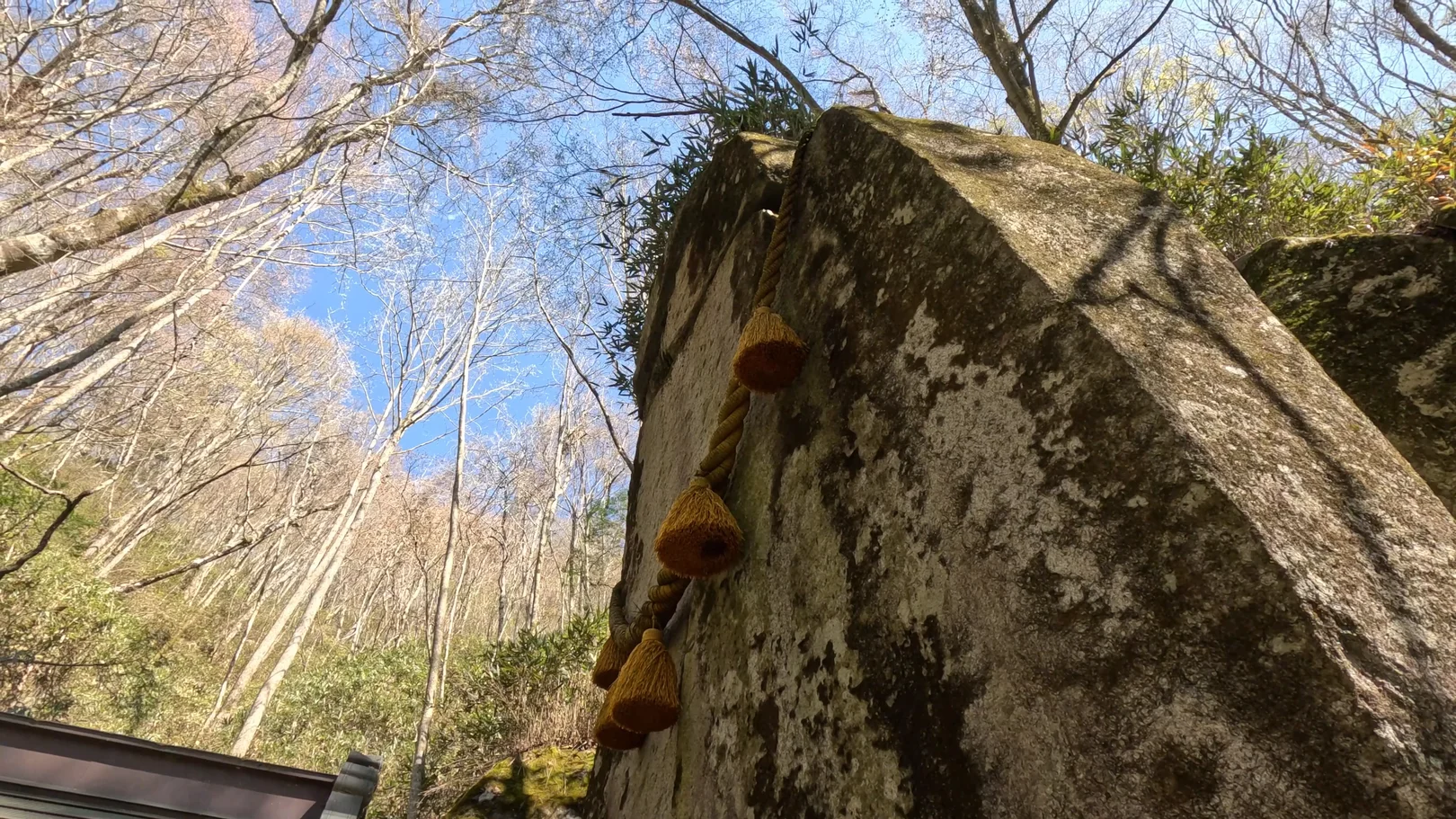
The shrine building sits right up against the rock, with stone lanterns lined up nearby. A few hikers had gathered in front of it. With my visit done, I headed for the summit.
Shrine → Summit (0.5 km, approx. 20 min)
It's a short section, but the path is narrow and half buried in bamboo grass, with fallen trees to step over and branches sticking out.
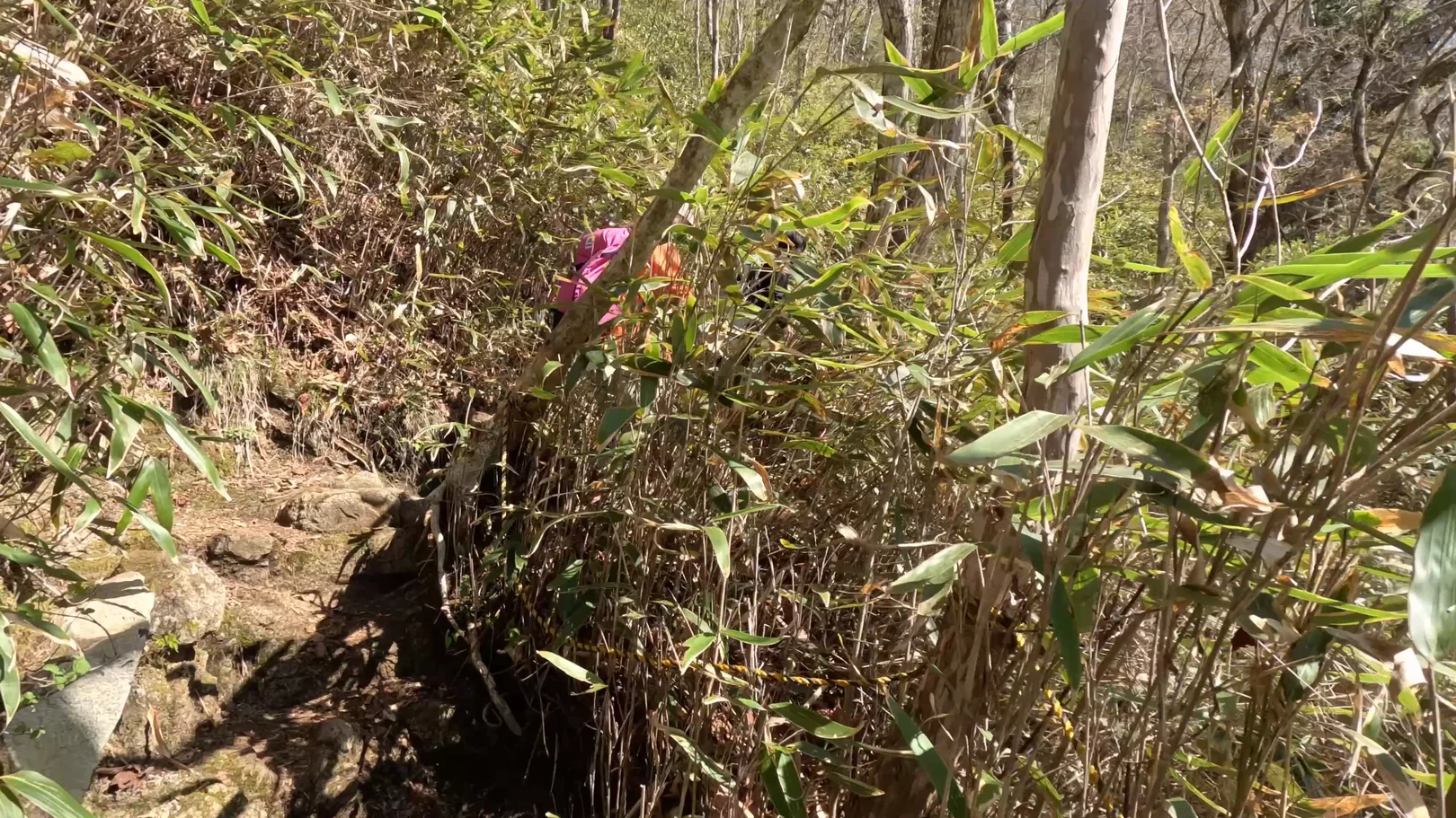
Then the bamboo grass ends and the view suddenly opens up.
Summit of Mt. Ishiwari (1,413 m, approx. 1 hr break)
I reached the summit at about 9:26 a.m., and there it was: Mt. Fuji with nothing in the way! Mt. Fuji (3,776 m) stands straight ahead, with Lake Yamanaka below and cherry trees in bloom in the foreground. It's beautiful.
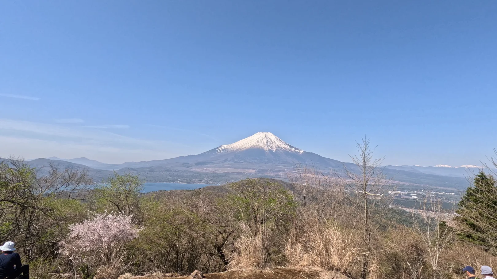
There's an information board up here, and a few people were taking in the view in front of it. Move a little and you can see Mt. Fuji through the blossoms. I stopped here for about an hour.
A marathon race happened to be on, so I chatted with the race staff while having a snack and some coffee. It wasn't very crowded.
Summit → Mt. Hirao (1.3 km, approx. 25 min)
From the summit the trail heads west along the ridge. It starts in cedar forest, with a tree leaning over the path at one point, then drops through brighter woods.
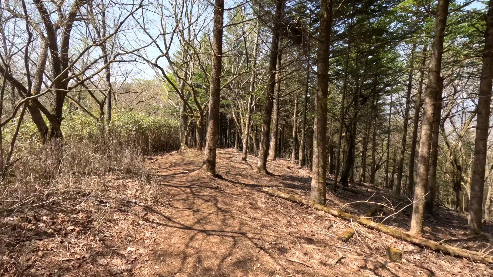
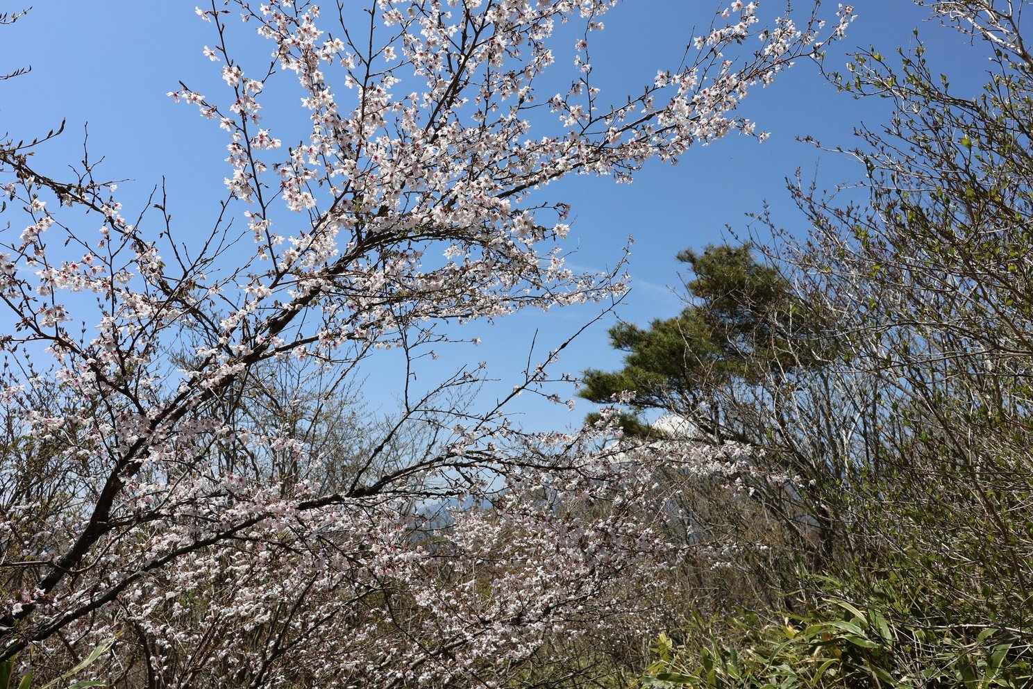
Cherry trees line the trail from the summit to Mt. Hirao, so this is the section to see in blossom season! I was a little late, and many of them had already lost their flowers.
A few late-blooming trees were still in flower, so I enjoyed them on my way to Mt. Hirao.
After the low shrubs, the path comes out on a ridge of dry pampas grass and the view opens up again. I could see hikers in the distance with Mt. Fuji beyond them.
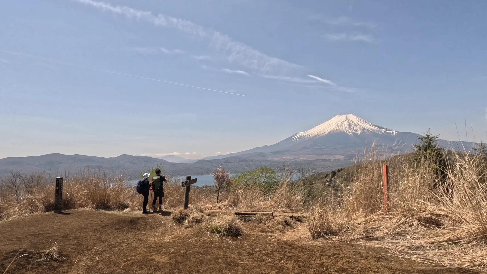
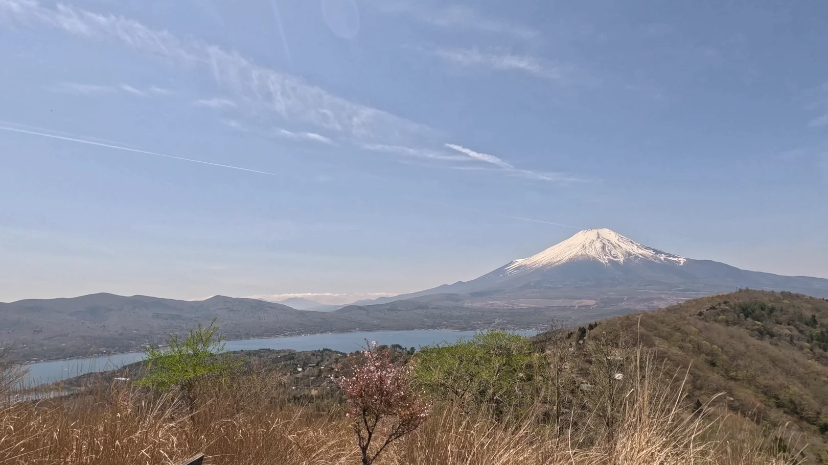
I reached Mt. Hirao at 10:51 a.m.
Mt. Fuji and Lake Yamanaka are clearly visible from around here as well, and you can see the lakeshore down below.
Mt. Hirao → Mt. Ohira (1.4 km, approx. 25 min)
This part is a ridge walk through dry pampas grass, with clumps of cherry trees beside the path. I passed a hiker in a blue jacket coming the other way.
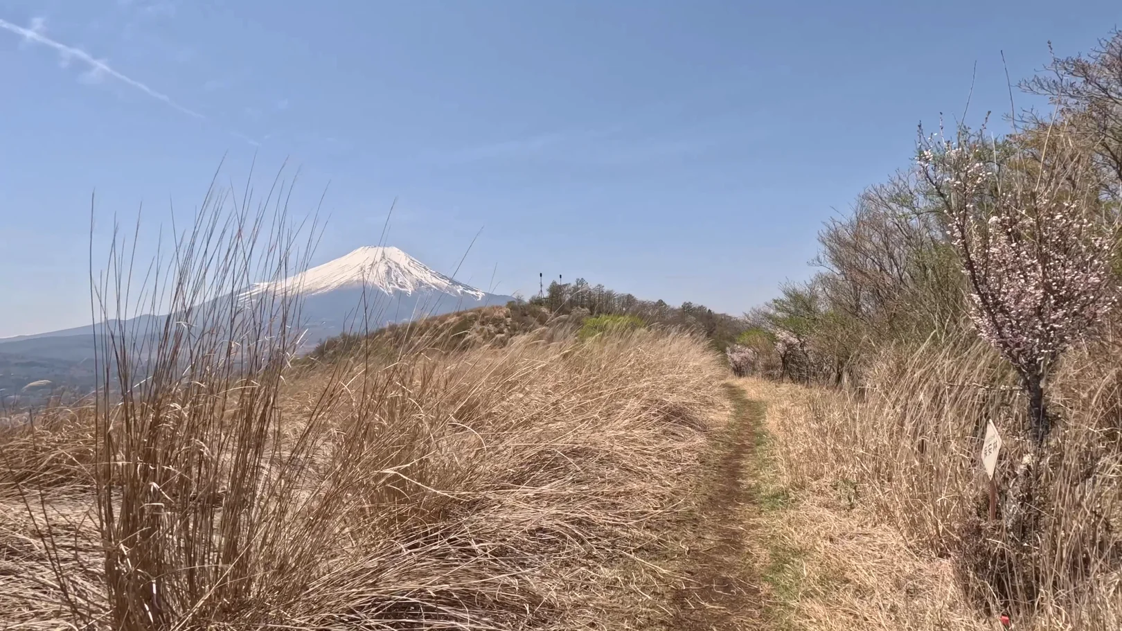
The grassy path leads to an open area with a wire fence and benches made from fallen logs. A motorcycle was parked there, and someone sat on a bench looking at the view.
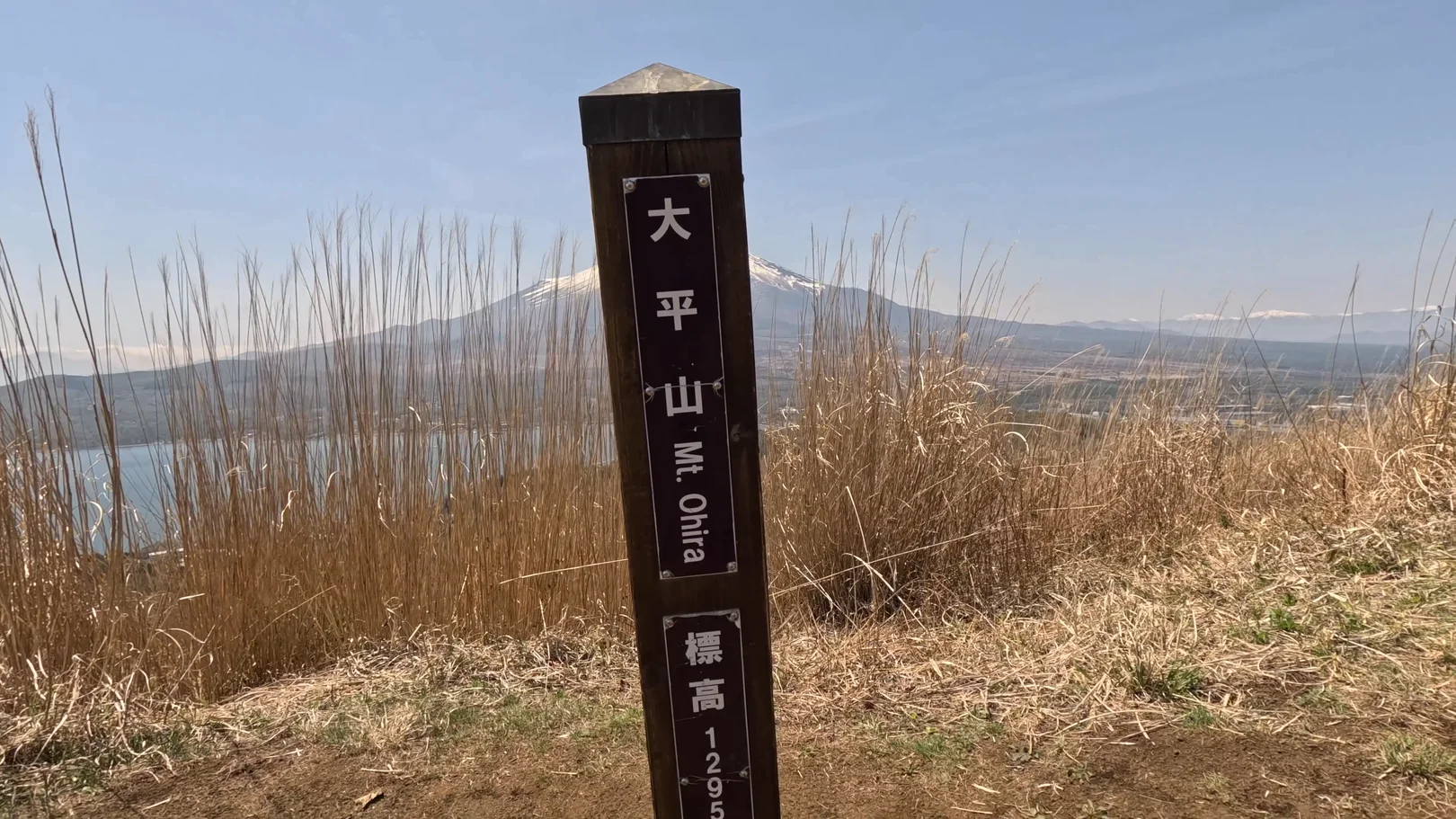
11:25 a.m., Mt. Ohira, 1,295 m
The view from Mt. Ohira takes in both Mt. Fuji and Lake Yamanaka.
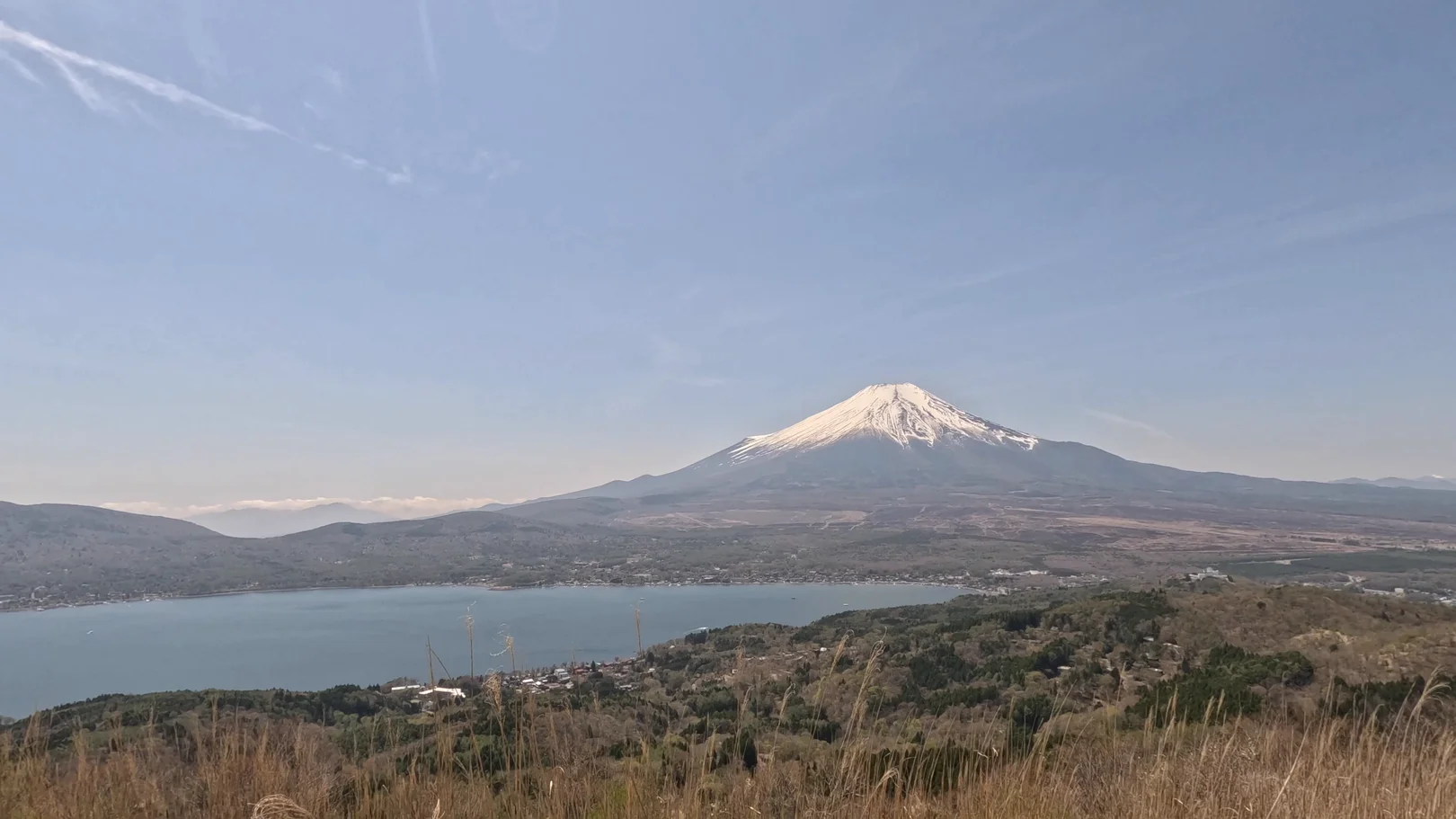
It's really beautiful, and a great place for photos!
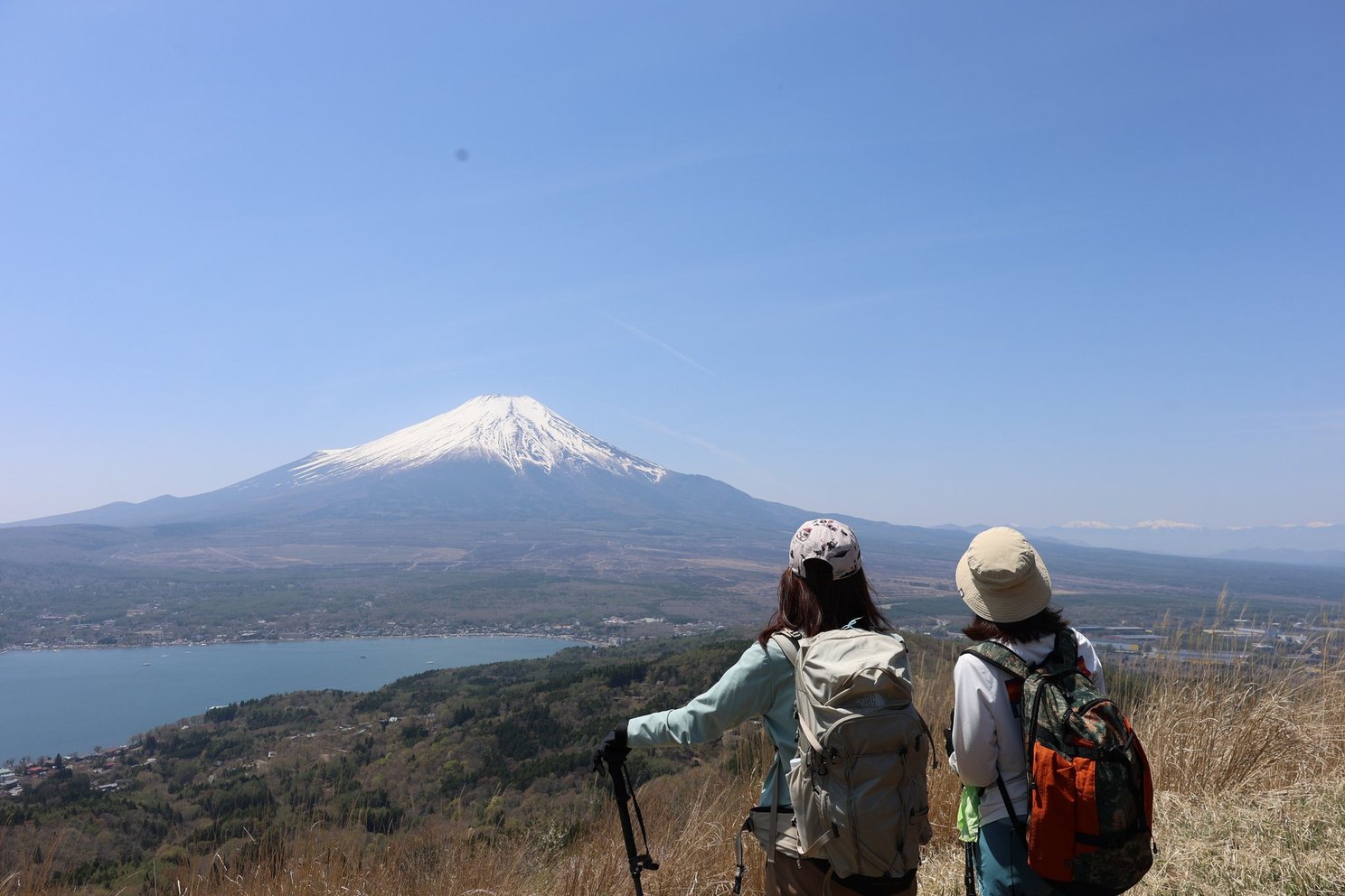
Descent: Mt. Ohira → Mt. Hirao → Trailhead (2.7 km, approx. 55 min)
I went back along the same trail to Mt. Hirao and passed it at about 12:27 p.m. From there I took a different trail, further south than the way up, so this route doesn't return past the shrine or the summit. I was back at the trailhead at 12:49 p.m.
Onsen After the Hike
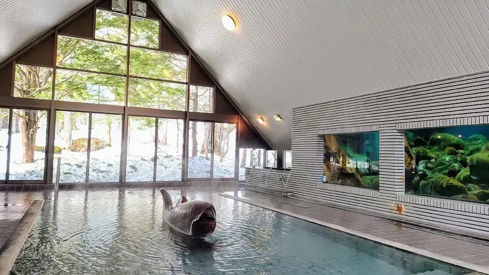
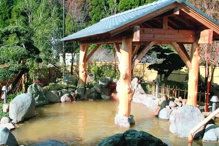
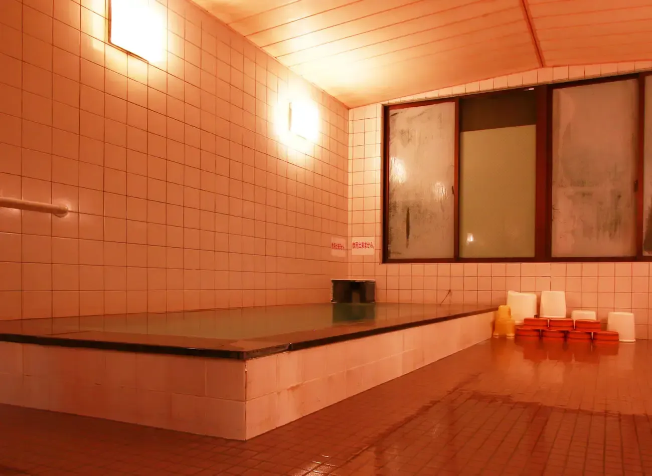
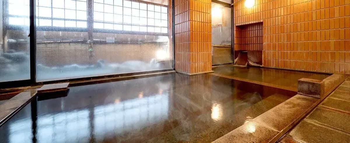
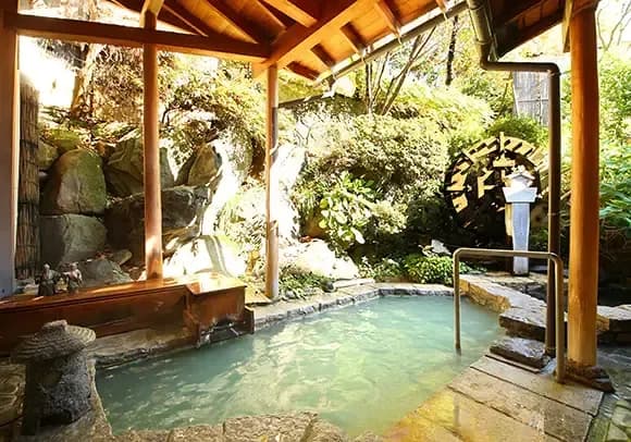
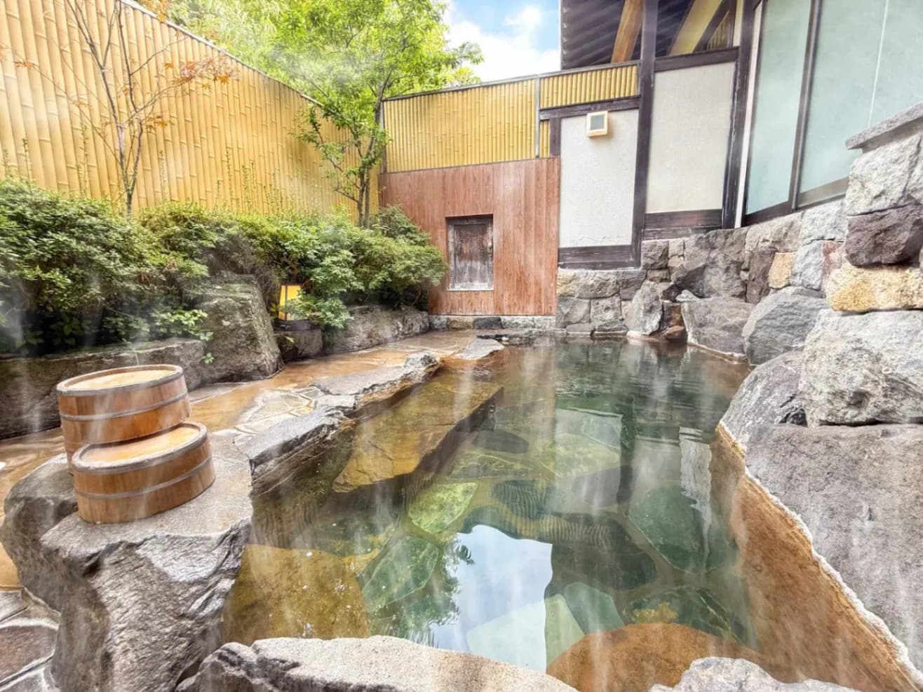
A hot spring is a great way to end a hike! Near the trailhead I also noticed a sign pointing out a day-use onsen.
Ishiwari-no-Yu

| Mon | Tue | Wed | Thu | Fri | Sat | Sun | Hol | |
|---|---|---|---|---|---|---|---|---|
| 11:00 - 19:00 | 11:00 - 19:00 | 11:00 - 19:00 | 11:00 - 19:00 | Closed | 11:00 - 19:00 | 11:00-20:00 | 11:00-20:00 | 11:00-20:00 |
Ishiwari-no-Yu (Yamanakako Hirano Onsen) is approx. 1.8 km or 4 minutes by car from the trailhead. I couldn't go this time because I was short on time, but it's close and convenient for a stop after the hike. Finishing at 12:49 p.m. as I did would put you within its opening hours.
- Admission: ¥900 for adults
- Hours: 11:00 a.m. to 7:00 p.m. on weekdays, 11:00 a.m. to 8:00 p.m. on weekends, holidays and some other days
- Closed: Thursdays (open on national holidays, during Golden Week, from the third week of July to the second week of September, and over New Year)
- Parking: free, 150 spaces
This comes from Yamanashi Prefecture's tourism website, as of December 24, 2024. The official website was down for maintenance on November 1, 2026, so I couldn't confirm it there. Please check with the facility before you visit.
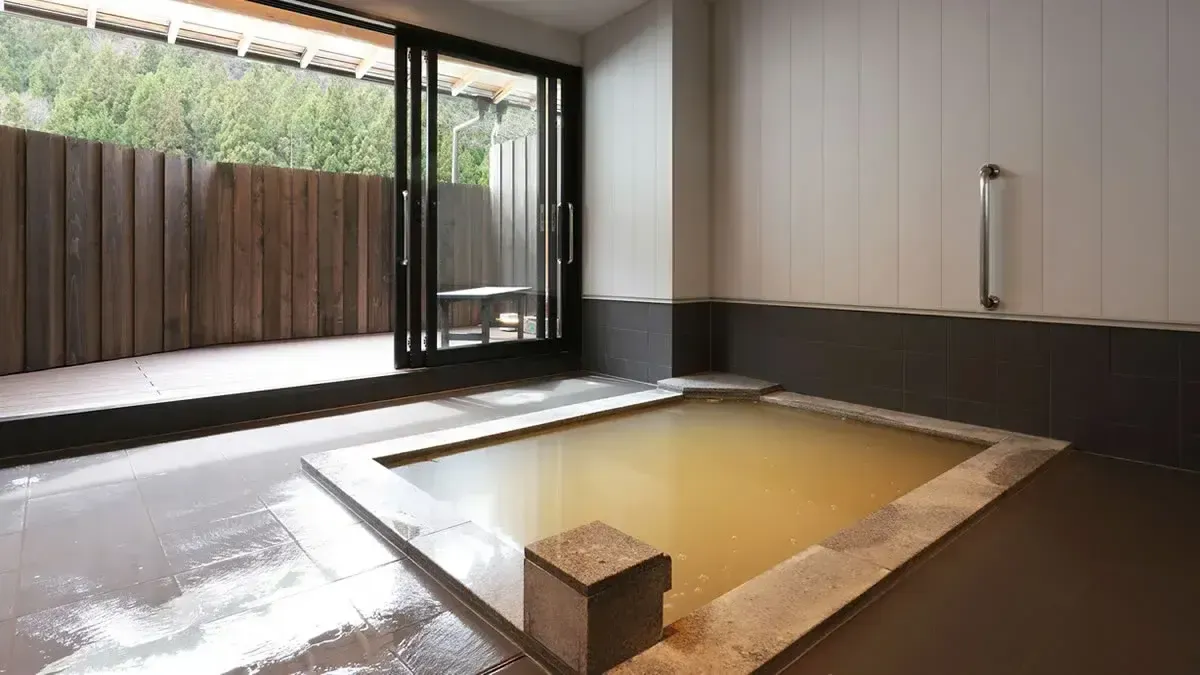
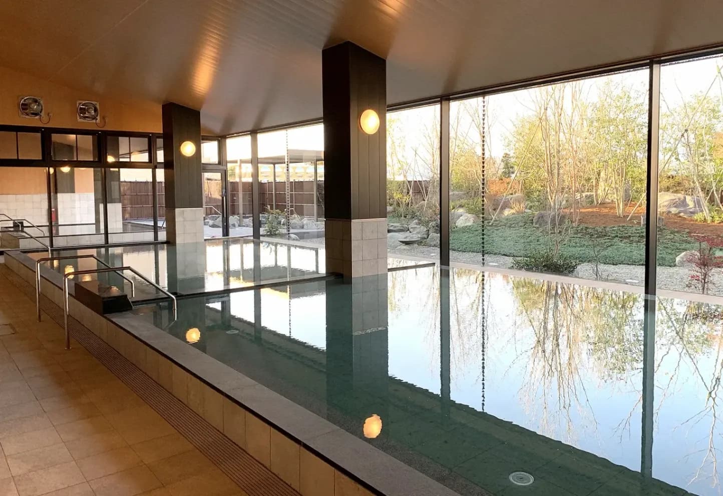
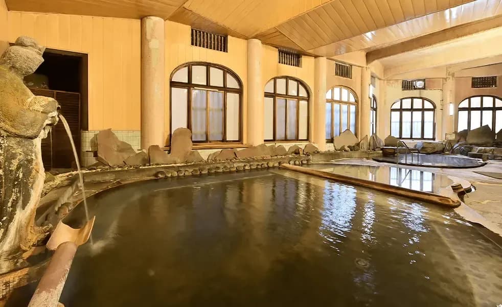
If you're happy to drive further, Shingenkan at Nakagawa Onsen also takes day visitors. It's 33.8 km and about 48 minutes from the trailhead. It's an inn as well, so you'll find the details in the next section.
Where to Stay Nearby
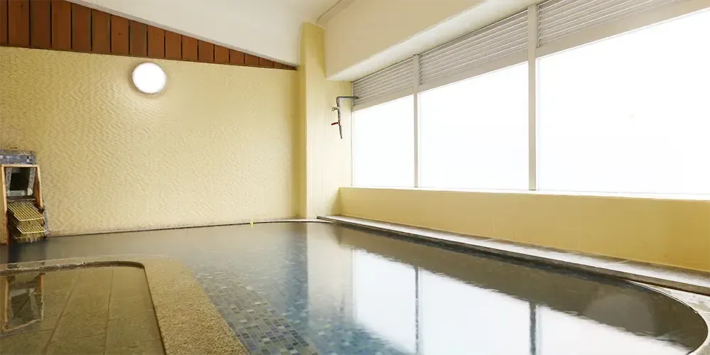
These work for a night before or after hiking Mt. Ishiwari. Driving times are from the trailhead and are approximate.
Place | Drive from the trailhead | Options |
|---|---|---|
Nakagawa Onsen Shingenkan | 33.8 km, approx. 48 min | Day visit, overnight |
Nakagawa Onsen Ao no Sanso | 33.8 km, approx. 49 min | Day visit, overnight |
Hakone Ginyu | 42.5 km, approx. 1 h 4 min | Overnight |
Nakagawa Onsen Shingenkan
| Mon | Tue | Wed | Thu | Fri | Sat | Sun | Hol | |
|---|---|---|---|---|---|---|---|---|
| 15:00 - 10:00 | 15:00 - 10:00 | 15:00 - 10:00 | 15:00 - 10:00 | 15:00 - 10:00 | 15:00 - 10:00 | 15:00 - 10:00 | 15:00 - 10:00 | 15:00 - 10:00 |
| Mon | Tue | Wed | Thu | Fri | Sat | Sun | Hol | |
|---|---|---|---|---|---|---|---|---|
| 10:30 - 14:30 | 10:30 - 14:30 | 10:30 - 14:30 | 10:30 - 14:30 | 10:30 - 14:30 | 10:30 - 14:30 | 10:30 - 14:30 | 10:30 - 14:30 | 10:30 - 14:30 |
| Mon | Tue | Wed | Thu | Fri | Sat | Sun | Hol | |
|---|---|---|---|---|---|---|---|---|
| 10:00 - 20:00 | 10:00 - 20:00 | 10:00 - 20:00 | 10:00 - 20:00 | 10:00 - 20:00 | 10:00 - 20:00 | 10:00 - 20:00 | 10:00 - 20:00 | 10:00 - 20:00 |
FAQ
How long does the Mt. Ishiwari hike take?
My loop out to Mt. Hirao and Mt. Ohira took about 4 h 45 min, including an hour's break at the summit. It's about 40 minutes to the shrine, then after a 20-minute stop there, about 20 more to the top.
Where do you park for Mt. Ishiwari?
At the Ishiwari Shrine parking lot, which is the trailhead. It's about a 16-minute drive from Yamanakako IC. Please confirm the capacity and any fee locally or with Yamanakako Village.
How many steps are there up to Ishiwari Shrine?
About 400, some with a handrail.
When do the cherry trees bloom on Mt. Ishiwari?
In 2025, the blossoms at the trailhead were in full bloom on April 27. Timing changes from year to year, so check the latest reports.
Is there an onsen near the Mt. Ishiwari trailhead?
Yes. Ishiwari-no-Yu is about 4 minutes away by car.
Wrap-up
Mt. Ishiwari gives you a sacred split rock, a stairway of about 400 steps and a big Mt. Fuji view all on one hike. Adding Mt. Hirao and Mt. Ohira brings the distance to about 7.0 km, and Mt. Fuji and Lake Yamanaka come into view at many points along the ridge. If you can, go in blossom season. I went on April 27, but the timing shifts each year, so check before you go. Ishiwari-no-Yu is also close by for after the hike. It's worth doing at least once!
Watch the Video
The video's chapters follow the same sections as the Hike Log above.
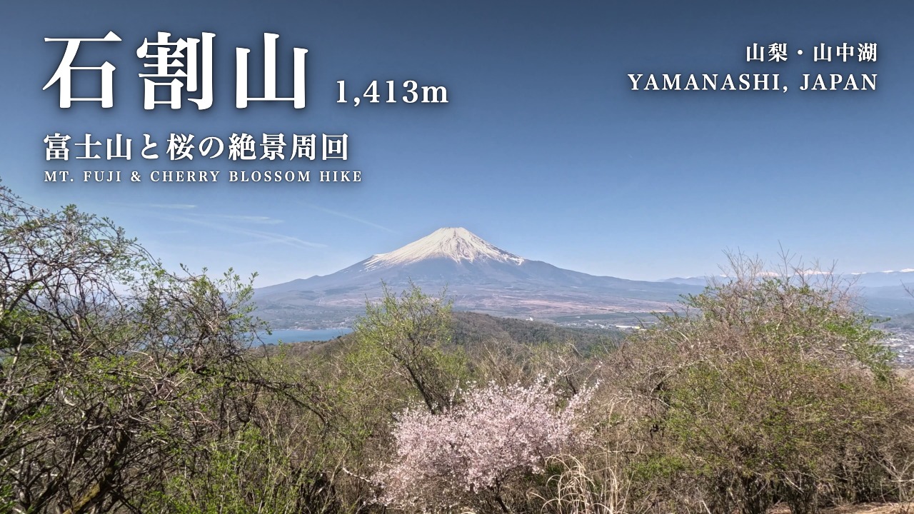
Mt. Ishiwari Hike: Stunning Mt. Fuji & Cherry Blossom Views (YouTube)
- 00:00 Opening
- 00:27 About Mt. Ishiwari
- 00:56 Route Overview
- 01:41 Trailhead → Ishiwari Shrine
- 02:43 Ishiwari Shrine
- 04:19 Shrine → Summit
- 04:40 Summit of Mt. Ishiwari 1,413 m
- 05:34 Summit → Mt. Hirao
- 06:57 Mt. Hirao → Mt. Ohira
- 09:05 Descent via Mt. Hirao
Times and distances are from my own record and are approximate. Fees and hours are as of the dates given, so please check with each facility for the latest. Driving times are from Google Maps, checked on November 1, 2026. Please check current trail and shrine conditions before your hike.